Health & Fitness
Where Does Georgetown End and Burleith and Glover Park Begin? Or Is It North Georgetown and Georgetown Heights?
What's in a Name? Is it Burleith or North Georgetown? Glover Park or Georgetown Height?

I am a born and bred Washingtonian and I always thought I had a pretty solid understanding of which neighborhoods were which. But all of that was turned on its head when the hot water went out at the Whole Foods at 2323 Wisconsin Avenue the other day, and I learned that the company and others refer it to as the Georgetown Whole Foods.
That set off a brief but spirited discussion on Twitter about where Georgetown, Burleith, and Glover Park begin and end, and the dubiousness of references to the latter two as North Georgetown and Georgetown Heights.
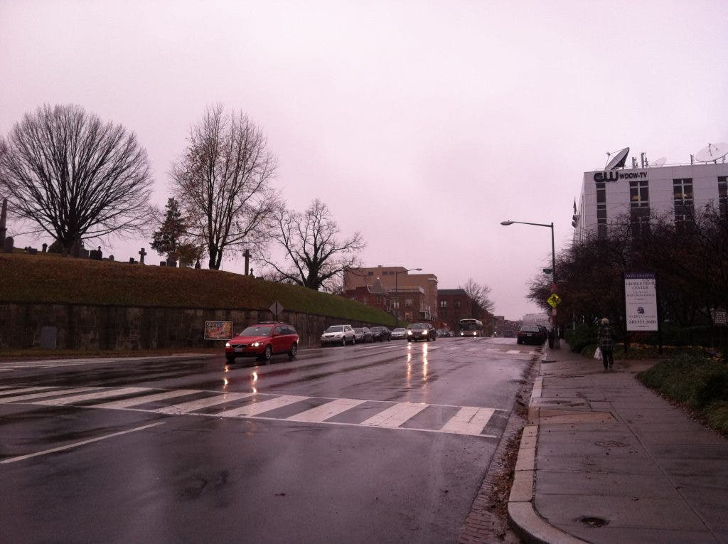
There are a number of different entities ranging from the National Park Service and the Georgetown Business Improvement District that all lay down the boundaries of Georgetown in more or less the same way. Georgetown is bounded on the north and south by Dumbarton Oaks and the Potomac River, respectively.
Find out what's happening in Georgetownfor free with the latest updates from Patch.
But what I also learned, for anyone who is looking for a higher authority, is that the boundaries of Georgetown are actually enshrined in Federal law in the Old Georgetown Act of 1950, which:
…created in the District of Columbia a district known as “Old Georgetown” which is bounded on the east by Rock Creek and Potomac Parkway from the Potomac River to the north boundary of Dumbarton Oaks Park, on the north by the north boundary of Dumbarton Oaks Park, Whitehaven Street and Whitehaven Parkway to Thirty-fifth Street, south along the middle of Thirty-fifth Street to Reservoir Road, west along the middle of Reservoir Road to Archbold Parkway, on the west by Archbold Parkway from Reservoir Road to the Potomac River, on the south by the Potomac River to the Rock Creek Parkway.
Find out what's happening in Georgetownfor free with the latest updates from Patch.
That seems pretty clear until on travels north up Wisconsin Avenue. The Burleith Citizens Association defines itself as “north of Georgetown,” and allows that because of its low name recognition that residents and other often say that they live in “North Georgetown.” This distinction has also been used in the Georgetown Metropolitan blog in a posting on April 17 of this year. The posting describes North Georgetown as follows:
“The easiest way to 'understand' the notion of North Georgetown is to begin at the southern edge of Glover Park, near the Holiday Inn. There is a natural geographical division here, bisecting Wisconsin Avenue with parkland: the Dumbarton Oaks / Naval Observatory area is on the east, and the Whitehaven / Holy Rood Cemetery area is on the west. There is very much of a 'gap' here in terms of Wisconsin Avenue development, and this is where 'North Georgetown' begins.
But a brochure from 1926 written and produced by the Shanon & Luchs real estate company describes the neighborhood as “Adjacent to historic old Georgetown.”
Finally, let’s travel a bit further north up Wisconsin Avenue. Here we use the Glover Park Citizens Association as our guide, which describes its borders as extending on both sides of Wisconsin Avenue from Whitehaven Parkway to Calvert Street and further northward on the west side of Wisconsin to Fulton Street. The western boundary is 42nd Street.
Not so fast. The condominiums at the northeastern corner of Wisconsin and Calvert? Georgetown Heights.
But here’s what I know, drawing on 40-plus years of life in the District: I grew up in Burleith, which started on R Street and went up to Whitehaven, and NO ONE ever mistook us for Georgetown. Glover Park ran north from there up to around the Russian Embassy. Both North Georgetown and Georgetown Heights seem to be constructs of real estate agents and marketers wanting to attach the cache of the Georgetown name to their stores and restaurants. Pretty ironic since Georgetown was once a slum.
Confused? You should be.