Traffic & Transit
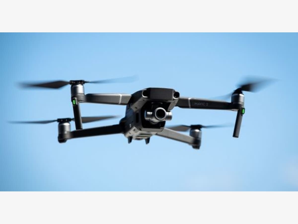
Drones Help Avoid Secondary Accidents
Secondary accidents occur when vehicles are stopped or slowed due to an accident and can be worst than the original accident.
Secondary accidents, accidents occurring when vehicles are stopped or slowed due to an accident, have been reported to be potentially worse than the original accident. The U.S. Department of Transportation's Federal Highway Administration reports that, “secondary crashes go up by a factor of almost 24 during the time that highway safety officials are assessing and documenting the crash site.”
With more than 7 million traffic crashes reported to the National Highway Traffic Safety Administration, resulting in 37,461 casualties and 3,144,000 injured in the year 2016 alone, it is no surprise that preventing secondary accidents is a huge concern. It certainly caught the attention of researchers at Purdue University, who say that crash assessments could be faster, safer, and more accurate if responders used their drone technology.
Clearing crash sites faster allow for less time for secondary accidents to occur. With less secondary accidents, additional injuries and even fatalities could be avoided completely. According to the Landau Law Group, vehicle accidents often result in more than just physical damage. Many are combined with emotional issues as well as high costs.
How Can Drones Help?
Find out what's happening in Georgetownfor free with the latest updates from Patch.
According to Darcy Bullock, professor of Civil Engineering and the Joint Transportation Research Program Director at Purdue, the average time it takes to map a severe accident takes two to three hours- possibly more if the accident resulted in a fatality. This time can significantly be reduced with the use of technology developed by Ayman Habib, a professor of Civil Engineering at Purdue.
Habib developed photogrammetric procedures for drones and stated that “Our procedure for data collection using a drone can map a scene in five to eight minutes, allowing public safety officers to open the roads much quicker after an accident.”
Find out what's happening in Georgetownfor free with the latest updates from Patch.
Not only does clearing an accident scene prevent the chances of secondary accidents, but it also frees up first responders sooner, allowing them to accomplish more with their time and better meet community needs in which they live and work.
A Real-World Example
This technology is already in use in Tippecanoe County, Indiana. It was used 20 times in 2018 to map accident scenes and 15 times to support specialty law enforcement teams. According to the Tippecanoe County sheriff’s office, use of the drone for accident mapping cut the downtime for traffic flow to 60 percent after an accident. The thermal imaging capability of the drone helped with all sorts of emergencies, such as search and rescue, aerial support over water, and wooded areas for fugitive apprehension.
The drones are programmed to utilize a type of graphing in a grid-type path and will record approximately 100 photos in 2-second intervals. The data gathered will be developed into a highly accurate scaled map. Along with photos, enough data is collected to create a 3D print of the scene. Although likely not necessary for all accident scenes, a 3D printout of complex accidents could prove extremely useful with law enforcement or a court trial.
Additional uses for this new technology include estimating the volume of materials within a couple of percentage points that are needed or used for a construction project.
Findings from the use of this technology were presented at the annual Transportation Research Board meeting in Washington, D.C. earlier this year. Purdue’s Bullock, Habib, and individuals from the sheriff’s office were in attendance to present their data.