Weather
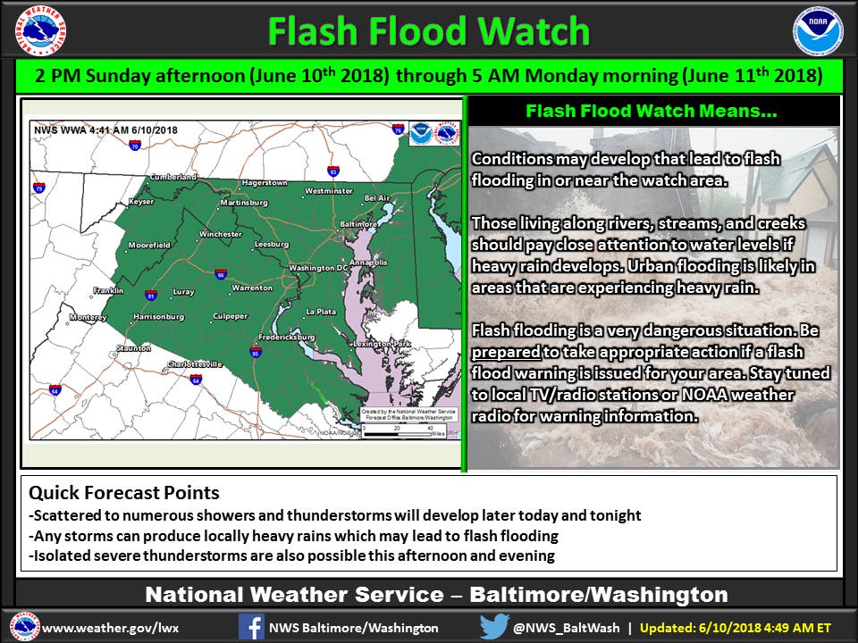
Flash Flood Watch Issued For Northern Virginia, DC
The National Weather Service has issued a flash flood watch for DC and northern Virginia and expects inches of rain during the watch period.

WASHINGTON, DC — A flash flood watch is in effect for northern Virginia and Washington, D.C., from Sunday to Monday morning. Several rounds of showers and thunderstorms are expected to hit Sunday afternoon and continue into the evening that could lead to flash flooding, according to the National Weather Service.
Weather officials said that 1 to 3 inches of rain may fall during the watch period, with higher amounts possible in some areas. Isolated severe thunderstorms with strong wind gusts may also occur.
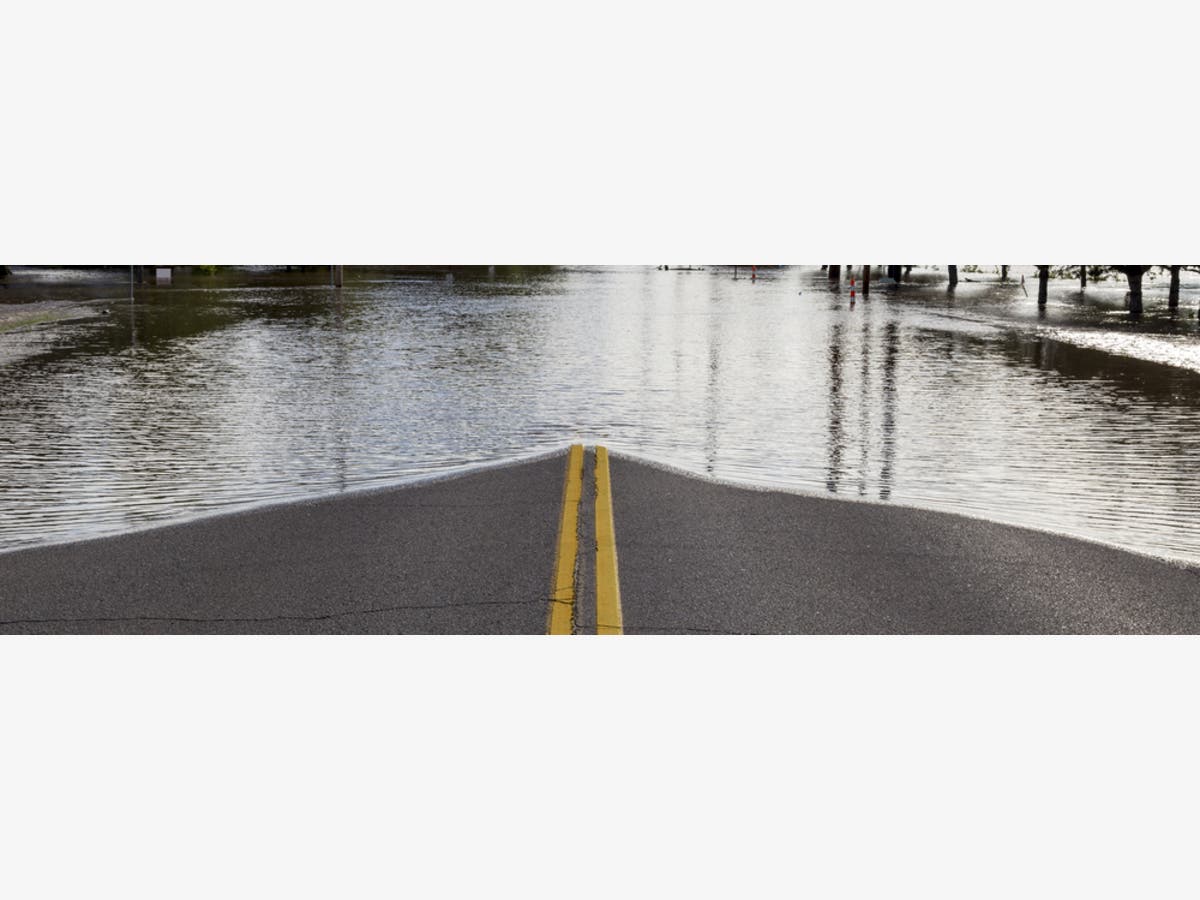
Flash flooding is a dangerous condition that can be life-threatening. It occurs when there is a rapid rise in water level, usually due to a significant amount of rainfall in a short period of time. Drivers who encounter flooded roads should turn around; don't drown.
Find out what's happening in Washington DCfor free with the latest updates from Patch.
The following areas are under the flash flood watch from now until 5 a.m. Monday: District of Columbia, Rockingham, Shenandoah, Frederick, Warren, Culpeper, Prince William, Manassas, Manassas Park, Fairfax, Arlington, Falls Church, Alexandria, Stafford, Spotsylvania, Fauquier, and Loudoun.
That includes the cities of Washington, Dale City, Manassas, Woodbridge, Lake Ridge, Montclair, Reston, Herndon, Annandale, Centreville, Chantilly, McLean, Franconia, Arlington, Alexandria, Falmouth, Fredericksburg, Dahlgren, Warrenton, Turnbull, Purcellville, Leesburg, Ashburn, Sterling, Big Meadows, Romney, Paw Paw, Martinsburg, Charles Town, Shepherdstown, Moorefield, Antioch, Keyser, New Creek, Ridgeville, Russelldale, Headsville, and Fort Ashby.
Find out what's happening in Washington DCfor free with the latest updates from Patch.
Here's the area forecast:
Sunday Night: Showers and possibly a thunderstorm. Some of the storms could produce heavy rain. Patchy fog after 11pm. Low around 62. Southeast wind around 8 mph becoming northeast after midnight. Chance of precipitation is 80%. New rainfall amounts between three quarters and one inch possible.
Monday: Showers likely and possibly a thunderstorm. Patchy fog before 11am. Otherwise, cloudy, with a high near 69. Northeast wind around 9 mph. Chance of precipitation is 60%. New precipitation amounts between a tenth and quarter of an inch, except higher amounts possible in thunderstorms.
Monday Night: A chance of showers, mainly before 8pm. Mostly cloudy, with a low around 59. East wind 5 to 8 mph. Chance of precipitation is 30%.
Tuesday: A slight chance of showers after 2pm. Mostly cloudy, with a high near 76. Southeast wind 3 to 6 mph. Chance of precipitation is 20%.
Tuesday Night: A chance of showers, mainly after 8pm. Mostly cloudy, with a low around 66. Chance of precipitation is 40%.
Wednesday: A chance of showers and thunderstorms. Partly sunny, with a high near 86. Chance of precipitation is 40%.
Wednesday Night: Partly cloudy, with a low around 68.
Thursday: Mostly sunny, with a high near 85.
Thursday Night: A chance of showers. Partly cloudy, with a low around 66. Chance of precipitation is 30%.
Friday: A chance of showers and thunderstorms. Mostly sunny, with a high near 81. Chance of precipitation is 50%.
Friday Night: A chance of showers. Partly cloudy, with a low around 63. Chance of precipitation is 40%.
Saturday: A chance of showers and thunderstorms. Mostly sunny, with a high near 80. Chance of precipitation is 30%.
Graphic showing the areas under the flash flood watch from Sunday, June 10, to Monday, June 11, 2018, courtesy of the National Weather Service; photo via Shutterstock
Get more local news delivered straight to your inbox. Sign up for free Patch newsletters and alerts.