Weather
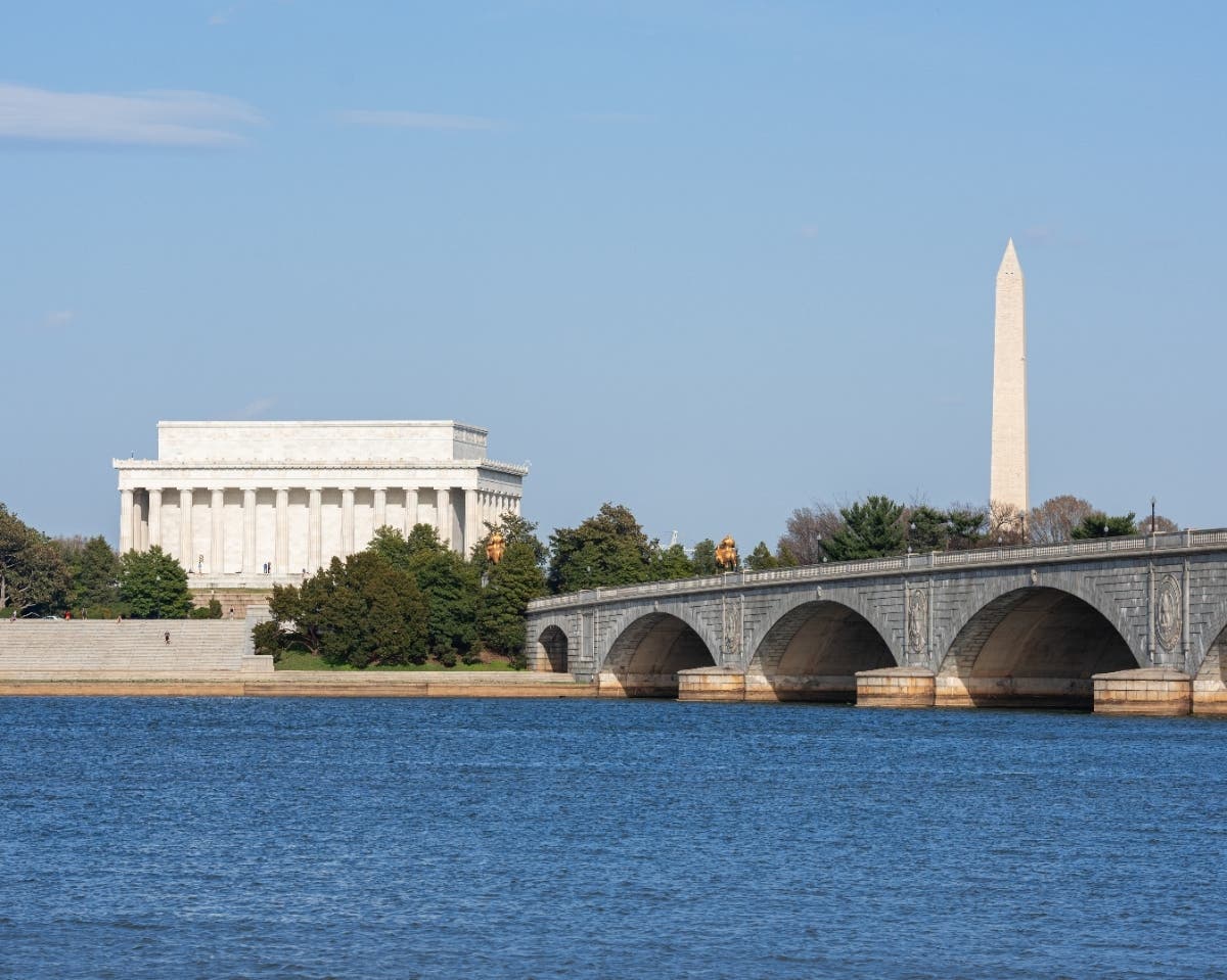
Bitter Cold In New Year’s Eve Weekend Forecast For DC, NoVa
Get ready to bundle up in the D.C. and Northern Virginia area if you have New Year's Eve plans, because it's going to be a cold one.

Don't forget to grab the scarf when you head out to celebrate on New Year's Eve, because it is going to be absolutely freezing in the D.C. area on Dec. 31.
It's already cold, obviously, with temperatures in the 20s in the middle of the day on Thursday, but this cold snap is going to stick around well through the New Year's holiday. The current Weather.com forecast shows our area will drop into the mid-teens at its lowest on Sunday, and winds of up to 14 miles per hour will make it feel ever colder.
Things aren't likely to get much better in the days ahead. New Year's Day will have virtually the same forecast, and while it will get slightly warmer in the week ahead, we're only talking by a few degrees. In fact, if we get precipitation -- there's a decent chance next Wednesday -- it will be in the form of snow.
Find out what's happening in Washington DCfor free with the latest updates from Patch.
The culprit is the Arctic air that is flowing in from Canada. Thursday morning, D.C. posted its coldest low temperature in December in nearly a decade, according to the Washington Post's Capital Weather Gang. At 16 degrees, we hadn't experienced temperatures that cold this month since Dec. 22, 2008.
So before you go out, remembering the following tips:
Find out what's happening in Washington DCfor free with the latest updates from Patch.
- Wear layers. Multiple thin layers is better than one thick layer.
- Protect your extremities with thick socks and gloves.
- Cover your head and your neck.
- And don't forget to bring the pets inside.
So what about snow? Well, that remains iffy. But CWG says there's reason to be optimistic.
"For snow lovers awaiting something more substantial, the time period to watch is the middle of next week," they write. "Models are suggesting that a storm may develop off the Atlantic coast. The European model predicts it to track closely enough to shore to generate snow over our region, while the American and Canadian models keep it well out to sea. We’ll update, as needed, on this potential in the coming days."
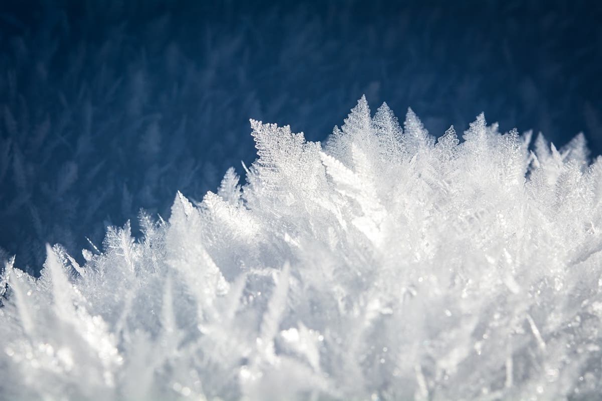
Image via Pixabay
Get more local news delivered straight to your inbox. Sign up for free Patch newsletters and alerts.