Weather
FL Insurance Premiums Could Rise When New FEMA Flood Maps Adopted
With Tropical Depression Fred on the horizon, the Federal Emergency Management Agency urges property owners to check the revised flood maps.

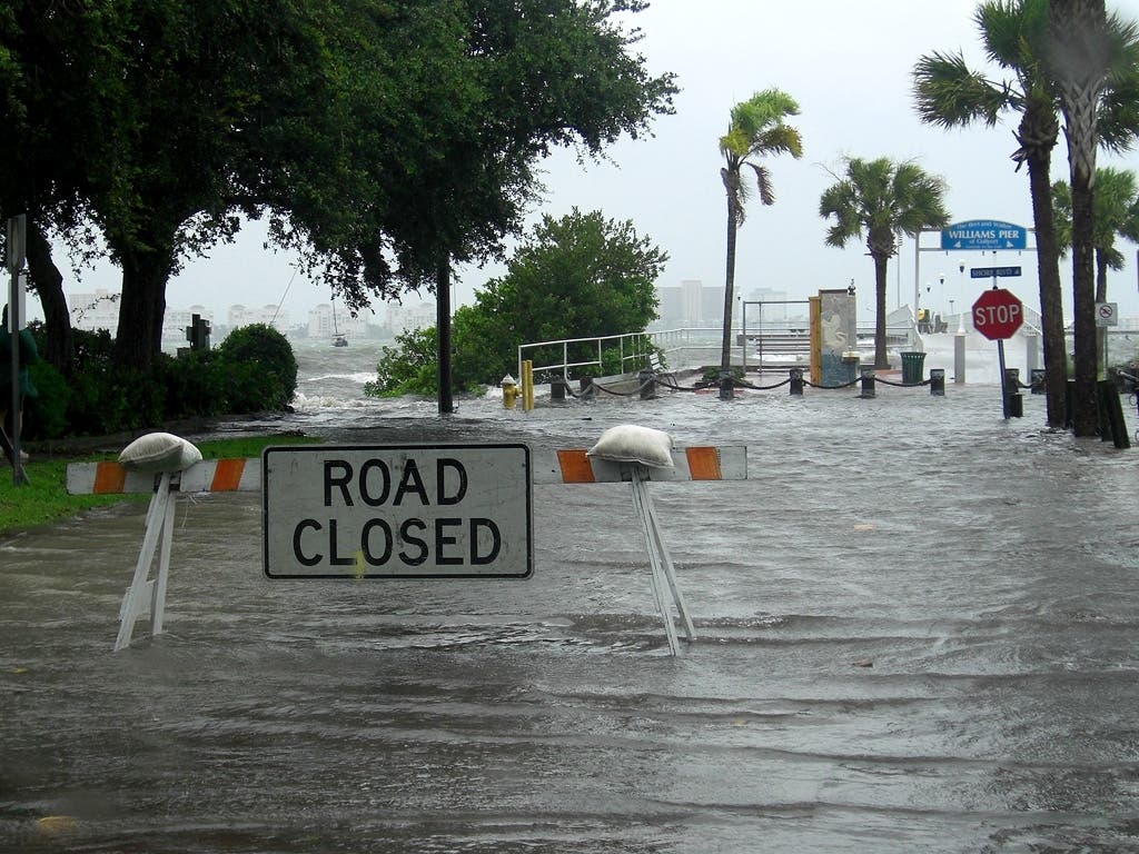
TAMPA BAY, FL — Flooding is the most costly and repetitive natural disaster affecting Floridians.
It can occur anytime and anywhere when heavy or steady rain occurs. It impacts residents living near lakes, low-lying areas, rivers and in coastal communities.
And it can take a devastating financial toll on property owners.
Find out what's happening in Tampafor free with the latest updates from Patch.
The Federal Emergency Management Agency has launched the most significant update to its Flood Insurance Program in a half-century policies.
See related story: Tropical Depression Fred Expected To Strengthen Near Florida
Find out what's happening in Tampafor free with the latest updates from Patch.
The flood maps for the National Flood Insurance Program were last updated by FEMA in 2009. Revised maps are scheduled to be adopted by Florida counties on Aug. 24.
Since flood insurance rates are determined using the FEMA flood maps, the new maps could impact a property owner's existing flood insurance policies and premiums.
Some property owners (about 1 percent) will see increases in their premiums while about 3 percent of property owners will have the flooding potential for their properties downgraded.
FEMA reminds residents that homeowners' insurance policies usually do not cover flooding. Property owners need flood insurance to protect them from the financial devastation caused by floods.
Get more local news delivered straight to your inbox. Sign up for free Patch newsletters and alerts.