Weather
Hail, Damaging Wind Gusts Hazards With Dangerous FL Storms: NWS
A tornado watch was issued for several areas near Orlando, while a wind advisory is in effect for areas near Tampa.

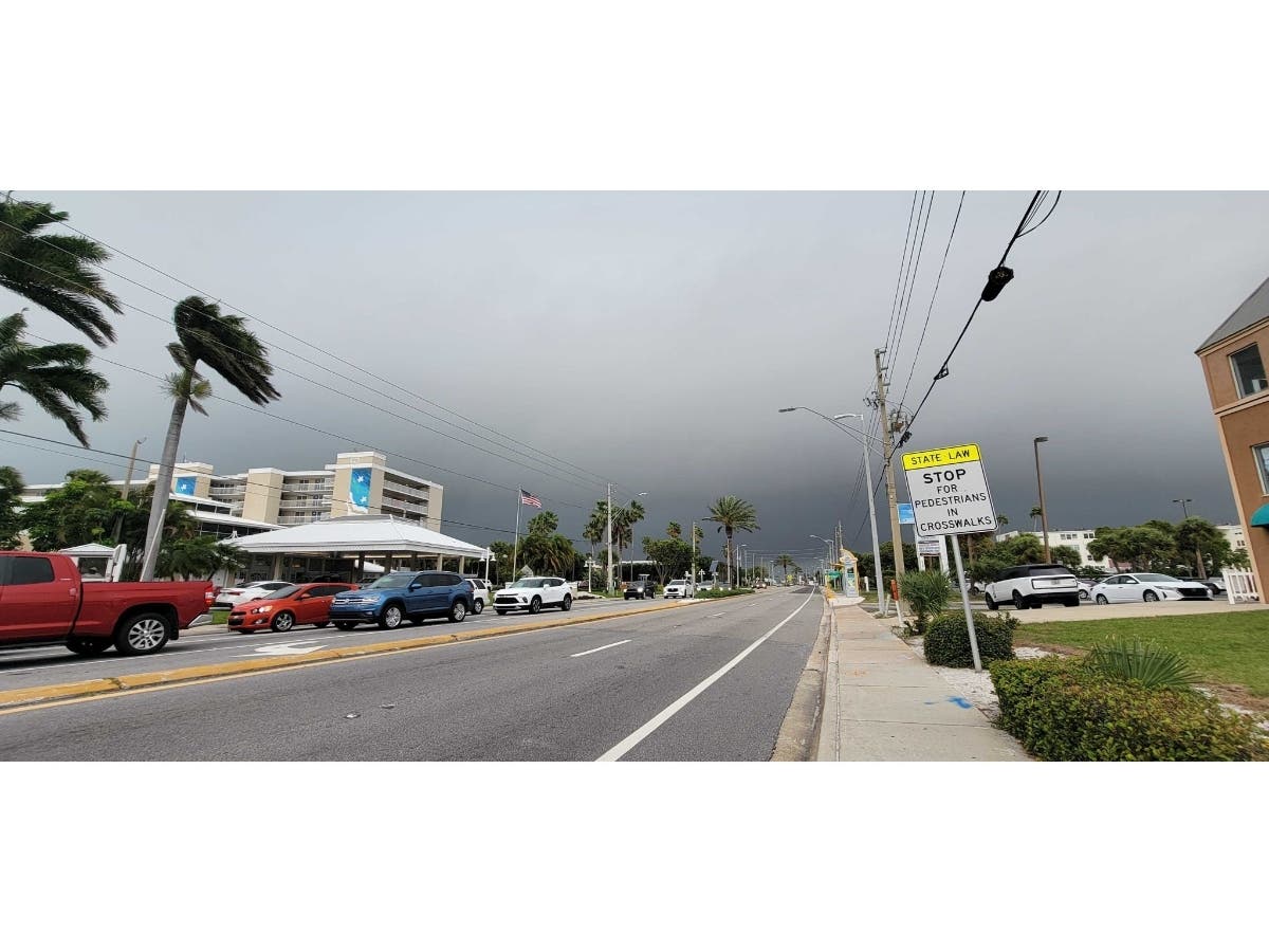

FLORIDA — A line of severe thunderstorms along the East Coast was set to target parts of Florida Wednesday afternoon into the evening, according to the National Weather Service.
AccuWeather said dangerous thunderstorms were forecast to center itself along the Interstate 95 corridor, stretching from Maryland to Florida.
"While the magnitude of severe weather and the overall intensity of thunderstorms may be somewhat lower than prior days this week, some of the storms will reach levels capable of causing property damage and physical harm in a heavily populated zone along the Eastern Seaboard from Wednesday to Wednesday evening," AccuWeather said.
Find out what's happening in Tampafor free with the latest updates from Patch.
Storms near the Tampa and Orlando areas could be severe, according to the weather service. Showers are expected to continue through the night in Tampa, while severe thunderstorms could also carry on in Orlando.
After arriving in Lake and Volusia counties in the afternoon hours, strong to severe storms are forecast to move east-southeast through the Interstate 4 corridor and travel at 35-50 mph.
Find out what's happening in Tampafor free with the latest updates from Patch.
Locally damaging wind gusts that could reach 50-70 mph, hail up to 1 inch, heavy rainfall and frequent lightning strikes are predicts hazards with the storms. The weather service said a tornado, maybe two, are possible.
"Lighting storms will have the potential to produce waterspouts this afternoon, mainly as they push offshore the Volusia County coast and into the offshore coastal waters, north of the Cape," the weather service said.
Boating conditions could become poor to hazardous across the Atlantic near Orlando, while seas could get to 2-4 feet nearshore and 5-7 feet offshore. The weather service said a small advisory has been issued for this area.
A tornado watch has been issued for Alachua, Bradford, Citrus, Clay, Duval, Flagler, Gilchrist, Hernando, Lake, Levy, Marion, Nassau, Orange, Pasco, Putnam, Seminole, St. Johns, Sumter, Union and Volusia counties until 5 p.m. Wednesday.
All central Florida Atlantic beaches are at a moderate risk for dangerous rip currents.
These conditions are expected through Friday morning in Pinellas, coastal Hillsborough, coastal Manatee, coastal Sarasota, coastal Charlotte and coastal Lee counties.
"Rip currents can sweep even the best swimmers away from shore into deeper water," the weather service said in its statement.
People are asked to swim near a lifeguard, and if they are caught in a rip current, relax and float.
"Don't swim against the current. If able, swim in a direction following the shoreline. If unable to escape, face the shore and call or wave for help," the weather service said.
Meanwhile, a wind advisory remains in effect until 5 p.m. Wednesday for the following counties: Sumter, Pinellas, Polk, Harde, Highlands, DeSoto, Levy, Citrus, Charlotte, Hernando, Pasco, Hillsborough, Manatee, Sarasota and Lee.
Southwest winds could climb up to 20-30 mph with gusts up to 50 mph predicted in these areas.
"Gusty winds could blow around unsecured objects. Tree limbs could be blown down and a few power outages may result. Gusty southwest winds will setup out ahead of the line of showers and thunderstorms that will be moving across the region during Wednesday," the weather service forecast in its advisory.
Gusty winds near the Orlando area could reach up to 40 mph. A wind advisory has been issued until 8 p.m. Wednesday for areas near Orlando.
Though the storms may weaken as they move southward across east central Florida into the evening, stronger storms are possible, the weather service said.
Forecasters with AccuWeather warned people to remain alert of changing weather conditions, and urged people to move indoors and stay away from windows.
As of around 2:45 p.m. Wednesday, the National Weather Service predicted the following detailed forecast for Tampa:
This Afternoon: Showers and possibly a thunderstorm. Some of the storms could be severe. High near 83. Windy, with a southwest wind around 24 mph, with gusts as high as 36 mph. Chance of precipitation is 90 percent. New rainfall amounts between a half and three quarters of an inch possible.
Tonight: Showers and thunderstorms, mainly before 9 p.m. Some of the storms could be severe. Low around 62. West wind 7-10 mph. Chance of precipitation is 80 percent. New precipitation amounts between a quarter and half of an inch possible.
Thursday: Mostly sunny, with a high near 76. West wind 7-13 mph, with gusts as high as 18 mph.
Thursday Night: Partly cloudy, with a low around 58. West wind 7-9 mph.
Friday: Sunny, with a high near 77. West northwest wind 6-11 mph.
Friday Night: Mostly clear, with a low around 57. West wind 8-10 mph.
Saturday: Sunny, with a high near 77. North wind 9-11 mph.
Saturday Night: Mostly clear, with a low around 54. Northwest wind 7-10 mph becoming northeast after midnight.
Sunday: Mostly sunny, with a high near 83. East wind around 9 mph.
Sunday Night: Partly cloudy, with a low around 61.
Monday: Mostly sunny, with a high near 87.
Monday Night: Partly cloudy, with a low around 64.
Tuesday: Mostly sunny, with a high near 88.
Get more local news delivered straight to your inbox. Sign up for free Patch newsletters and alerts.