Weather
Hazardous Weather Warnings, Flood Watches Up Across Tampa Bay
Breaking: Stormy conditions are expected to remain in the Tampa Bay area through mid-week, but sunshine is on the horizon, forecasters say.

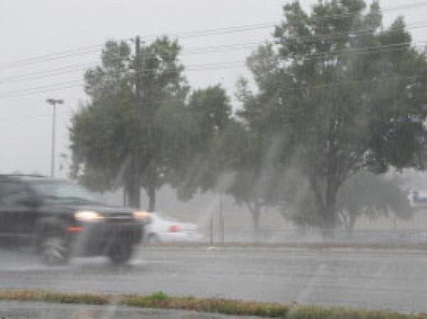
TAMPA BAY, FL — Tampa Bay area residents tired of rainy conditions and gray skies will likely have to endure a few more days of gloom before the sun peaks through the clouds. The National Weather Service says the region is in for a very soggy start to the week with flood watches up in some counties and rip current risks present in coastal areas.
An area of low pressure in the northeastern Gulf of Mexico along with “anomalously high tropical moisture” get the blame for poor conditions in the Tampa Bay area to kick off the week, service forecasters wrote in Monday’s Hazardous Weather Outlook report. As those conditions persist, residents can anticipate locally heavy rainfall, gusty winds and occasional lightning strikes, forecasters say.
A flood watch has been issued through 8 p.m. Tuesday for Pasco, Hernando and Citrus counties. Localized flooding in low-lying areas is also possible in other parts of the region, forecasters warn.
Find out what's happening in Tampafor free with the latest updates from Patch.
“Residents living in flood prone areas or who live along rivers and faster flowing streams should keep alert to any rapid rises in water levels and be ready to move to higher ground should flooding be observed,” the service wrote. Rainfall amounts between 2 and 4 inches are possible through Wednesday with even more rain expected along the Nature Coast, forecasters say.
Waves of 2 to 3 feet near shore along the Tampa Bay coastline are also giving rise to rip current concerns. The service said rip currents are possible from Pinellas and Hillsborough counties south to Sarasota.
Find out what's happening in Tampafor free with the latest updates from Patch.
While heavy rains are anticipated through much of the week, the news isn’t entirely bad. Daily highs are not expected to climb back into the 90-degree range until Wednesday at least. Forecasters anticipate Monday will bring a high around 81 degrees to much of the region. There’s a 70 percent chance of showers in the daytime hours and an 80 percent chance overnight. The evening low should drop to about 75 degrees.
Tuesday kicks off with an 80 percent chance of showers and a high in the mid-80s expected. Scattered thunderstorms and showers are expected in the overnight hours when the low should drop into the upper 70s.
Showers are likely throughout the day and evening on Wednesday. The day’s high is expected to almost reach 90 degrees with an overnight low in the mid-70s.
Partly sunny conditions are expected to make a return on Thursday. There’s still a 50 percent chance of storms during the daytime hours with a high around 90 anticipated. Rain chances persist into the nighttime hours with a low in the mid-70s expected.
Scattered showers and thunderstorms are expected to move in after 9 a.m. Friday, but they aren’t anticipated to stick around. Forecasters say the day’s high should reach about 90 degrees with partly sunny conditions likely after the storms move out.
Rain chances move back in during the evening hours Friday. A low in the mid-70s is expected.
For an extended forecast in your neighborhood, visit your local Patch’s homepage.
Patch file photo
Get more local news delivered straight to your inbox. Sign up for free Patch newsletters and alerts.