Community Corner
Showers, Thunderstorms Kick Off the Week
Strong storms are possible in the afternoon and evening hours Monday, giving way to a cool week ahead.

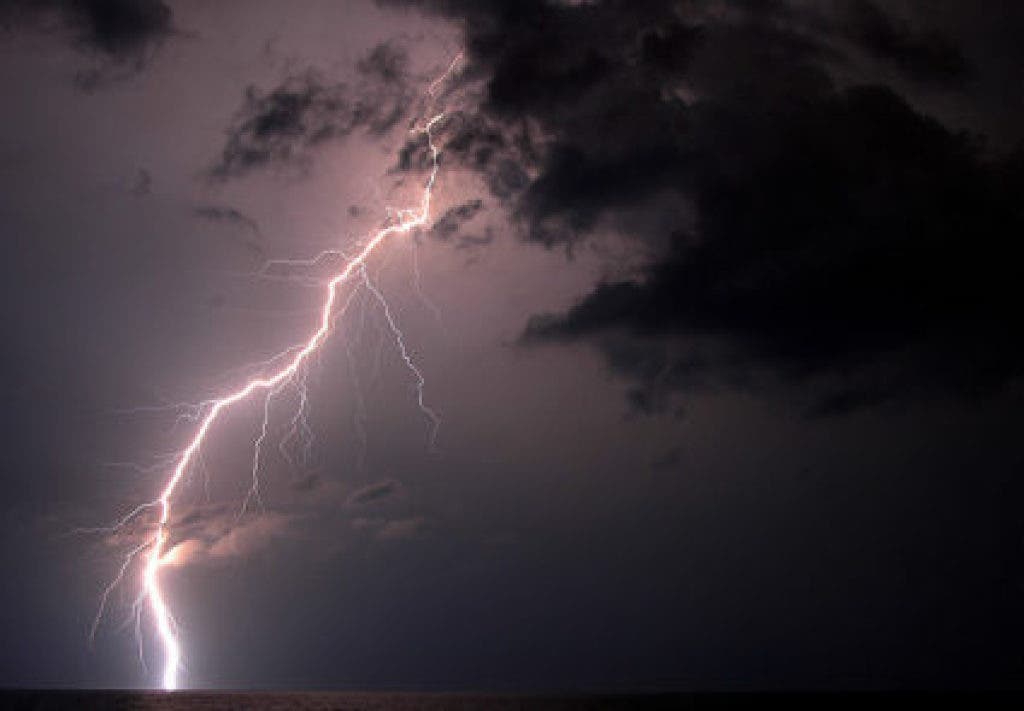
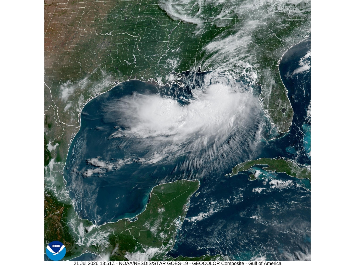
Tampa Bay area residents might want to brace for a stormy start to the week as forecasters at the National Weather Service warn of the potential for thunderstorms with the possibility of strong, gusty winds, locally heavy rain and lightning strikes.
The agency has issued a Hazardous Weather Outlook report for the entire Tampa Bay area, including Pasco, Pinellas, Sarasota, Manatee and Hillsborough counties. The warnings also extend to boaters on Bay area waters as hazardous boating conditions are anticipated Monday for small craft operators.
Monday delivers roughly a 70 percent chance of storms throughout much of the region in the day and overnight hours. A high in the lower 70s is anticipated with a low around 55.
Find out what's happening in Tampafor free with the latest updates from Patch.
Once Monday’s storms move through, the rest of the week is anticipated to shape up to be sunny, but a bit cooler. Tuesday’s high will only reach the mid-60s with a low in the upper 40s. A repeat is anticipated Wednesday. Thursday’s high near 70 is expected to be followed by a crisp low in the lower 40s.
Forecasters anticipate a chilly Friday with a high only in the upper 50s.
Find out what's happening in Tampafor free with the latest updates from Patch.
For a complete look at Tampa Bay area weather, visit the National Weather Service online.
Image via Shutterstock
Keep up with what’s happening around town and the state by signing up for your favorite Patch daily newsletter: Bloomingdale-Riverview, Bradenton, Brandon, Carrollwood-Northdale, Clearwater, Dunedin, East Lake, Gulfport, Land O’ Lakes, Largo, Lutz, New Port Richey, New Tampa, Palm Harbor, Pinellas Beaches, Safety Harbor, Sarasota, Seminole Heights, South Tampa-Hyde Park, St. Pete, Tarpon Springs, Temple Terrace, Westchase.
Get more local news delivered straight to your inbox. Sign up for free Patch newsletters and alerts.