Weather
Tampa Bay’s Heat Index May Top 100 Degrees, Forecasters Say
Localized flooding remains a concern in some parts of the Tampa Bay area.

Tampa Bay, FL — Tampa Bay area residents might want to dress for heat and keep their umbrellas handy as the workweek continues. The National Weather Service is predicting heat index values above 100 degrees and scattered thunderstorms in the days ahead.
Monday kicks things off with a high around 92 degree anticipated in much of the region. There’s a 30 percent chance of scattered storms in the daytime hours, mainly before 5 p.m. Storm chances drop to about 20 percent in the nighttime hours with a low in the upper 70s. Monday’s heat index could reach values near 102 degrees, forecasters warn.
Tuesday brings a 40 percent chance of thunderstorms and showers mainly after 2 p.m. The day’s high is expected to reach about 92 degrees in much of the region with heat index values rising again to about 100 degrees. Overnight, scattered storms are expected with a low again in the upper 70s.
Find out what's happening in Tampafor free with the latest updates from Patch.
Wednesday is expected to be a near repeat of Tuesday, but storms may arrive earlier. The weather service forecasts about a 40 percent chance of storms between 8 a.m. and 2 p.m. Isolated storms are possible in the nighttime hours when the low should once again drop into the upper 70s.
Slightly cooler temperatures are expected on Thursday with a high around 88 degrees forecast. Rain chances are set at 40 percent in the daytime hours. Overnight, the low should drop to about 77 degrees with a 30 percent chance of storms.
Find out what's happening in Tampafor free with the latest updates from Patch.
Friday is expected to deliver a 40 percent chance of rain and a high again in the upper 80s. Storm chances remain at 40 percent heading into the nighttime hours with low in the upper 70s.
While no severe weather is expected throughout the week, forecasters do warn that thunderstorms could produce locally heavy rain and frequent lightning strikes. In addition, several local rivers south of the Interstate 4 corridor remain at or near flood stage, the agency warned in its Hazardous Weather Outlook report Monday. Residents who live along rivers or fast-flowing streams are urged to be mindful of water levels.
The weekend is expected to bring more storms and highs in the upper 80s in much of the Tampa Bay area.
For an extended forecast in your neighborhood, visit your local Patch’s homepage.
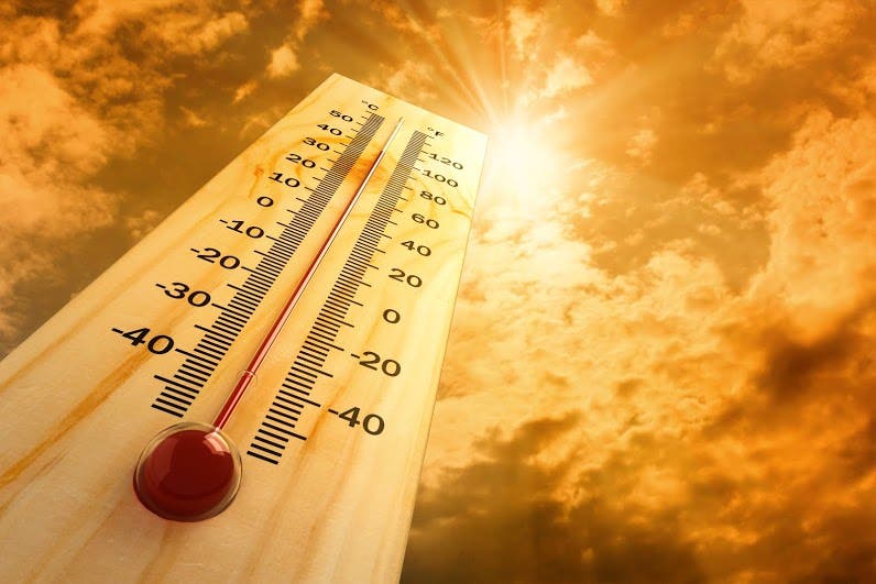
Image via Shutterstock
Get more local news delivered straight to your inbox. Sign up for free Patch newsletters and alerts.