Community Corner
Weather Alert: Stormy, Cold Conditions Headed to Tampa Bay
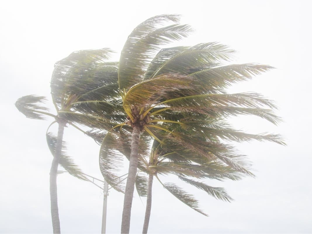
Storms are expected to move in Tuesday, followed by much colder temperatures later in the week.

Monday’s sunshine, blue skies and warmer temperatures aren’t expected to last.
The National Weather Service is anticipating Tuesday will be a soggy one with showers likely throughout the region. While Tuesday’s high is expected to reach a balmy mid-70, storms are likely to continue into the evening hours with a 60-percent chance they’ll return on Wednesday morning, as well.
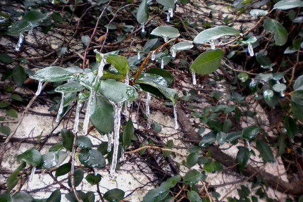
Wednesday is the day forecasters say Tampa Bay area residents will likely want to start bundling up a bit.
Find out what's happening in Tampafor free with the latest updates from Patch.
“Freezing temperatures will be possible on Wednesday night into Thursday morning and Thursday night into Friday morning behind a midweek cold front,” the agency warned in its Hazardous Weather Outlook report Monday.
The daytime high is expected to only climb to the upper 50s Wednesday with a low down around 40 in much of the region. Thursday’s high should only hit the lower 50s with a low down near freezing in some parts of the Bay.
Find out what's happening in Tampafor free with the latest updates from Patch.
Boaters are also warned to be mindful on Bay area waters. Hazardous conditions for small craft operators are anticipated throughout much of the week.
While the region will have to endure a few soggy, cold days, forecasters expect a warming trend to arrive just in time for the weekend.
For a complete look at Tampa Bay area weather, visit the National Weather Service online.
Patch file photo
Keep up with what’s happening around town and the state by signing up for your favorite Patch daily newsletter: Bloomingdale-Riverview, Bradenton, Brandon, Carrollwood-Northdale, Clearwater, Dunedin, East Lake, Gulfport, Land O’ Lakes, Largo, Lutz, New Port Richey, New Tampa, Palm Harbor, Pinellas Beaches, Safety Harbor, Sarasota, Seminole Heights, South Tampa-Hyde Park, St. Pete, Tarpon Springs, Temple Terrace, Westchase.
Get more local news delivered straight to your inbox. Sign up for free Patch newsletters and alerts.