Community Corner
Frigid Weather Moving into Bay Area
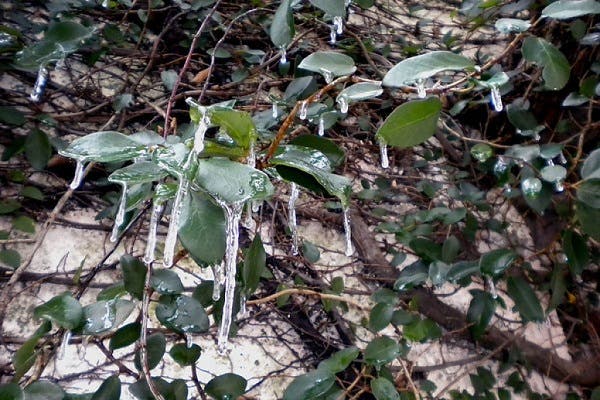
Wind chills in the upper 20s to lower 30s are expected across much of the region.

Tampa Bay area residents are being warned to bundle up for a chilly night Wednesday followed by a frigid Thursday.
According to the National Weather Service, Wednesday’s high will only reach the upper 60s in most parts of the Bay with an overnight low falling to the upper 30s. That low, however, will be impacted by wind chills that are anticipated in the upper 20s and lower 30s throughout much of the region.
“Residents venturing out tonight into Thursday morning or during Thursday night should dress warmly,” the weather service reported in its Hazardous Weather Outlook statement. The agency recommends that cold sensitive plants be brought in and those with pets keep them inside, as well.
Find out what's happening in St. Petefor free with the latest updates from Patch.
See Also:
For residents along the Nature Coast, temperatures are expected to plummet even lower with a freeze possible. Residents in that area re being advised to wrap or cover any exposed pipes.
Find out what's happening in St. Petefor free with the latest updates from Patch.
Forecasters anticipate the cold to continue through Thursday with a high only in the upper 50s expected. Overnight lows will drop to the upper 40s in most parts of the Bay.
Friday brings a slight warming with an anticipated high in the mid-60s.
The forecasted cold for Wednesday night has prompted some Bay area counties to announce the opening of cold weather shelters. Pinellas County is opening its shelters for the overnight hours Wednesday.
For a complete look at Bay area weather, visit the National Weather Service online.
Patch File Photo
Keep up with what’s happening around town and the state by signing up for the St. Pete Patch newsletter.
Get more local news delivered straight to your inbox. Sign up for free Patch newsletters and alerts.