Weather
Georgia Weather: Atlanta Waits For Ice, Freezing Rain
Throughout metro Atlanta, schools and government offices were closed Monday morning as forecasts called for a dangerous winter storm.

ATLANTA, GA — Many metro Atlantans were staying warm at home Monday morning, waiting to see whether forecasts of sleet and freezing rain would come true.
Schools, offices and government buildings were closed throughout north Georgia on Monday as a winter storm system threatened to dump sleet and freezing rain on the area.
Atlanta, Fulton County, Cobb, DeKalb, Decatur and Gwinnett were among the school systems that, with caution, closed on Monday ahead of the possible storm — which comes on the same day that University of Georgia and University of Alabama will play for college football's national championship at Mercedes-Benz Stadium in downtown Atlanta.
Find out what's happening in Atlantafor free with the latest updates from Patch.
Gov. Nathan Deal, who already had joined Atlanta Mayor Keisha Bottoms in planning to send workers home early Monday, closed all non-essential state offices north of Columbus and Augusta. Bottoms also closed City of Atlanta offices for the day.
At Hartsfield-Jackson Atlanta International Airport, crews had treated runways, and roadways leading to the airport in advance of the potential icy weather.
Find out what's happening in Atlantafor free with the latest updates from Patch.
The National Weather Service issued a winter weather advisory for much of north Georgia which runs from 5 a.m.-noon on Monday. Light freezing rain is expected to develop throughout the morning, according to the advisory.
Early Monday, state officials were reporting freezing rain and icy conditions in far north Georgia, particularly in the northwest around Ringgold, where a weather-related crash was reported.
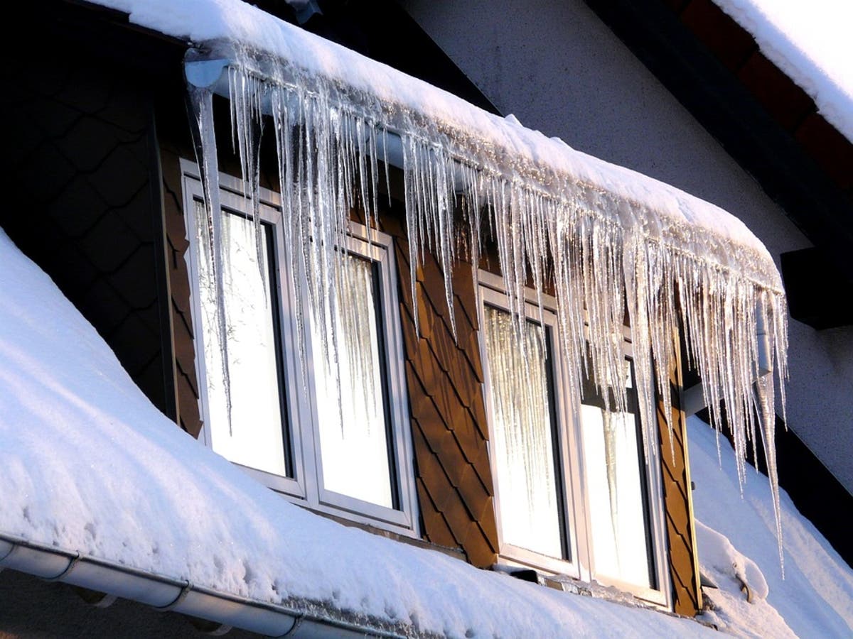
The total accumulation of ice is expected to be less than a tenth of an inch. The freezing rain could make travel conditions dangerous, the weather service said, particularly during morning commute hours.
The good news is that Monday's high temperature is expected to get up to 42 degrees, meaning any ice that accumulates likely will melt fairly quickly. Shortly after 8 a.m., it already had reached 31 degrees — just one degree away from the freeze point.
On Tuesday, we're looking at a high of 55 degrees. But it's forecast to be a rainy week, as a as a patch of warm, moist air hits the cold air that's been settled over us for days now.
Over the weekend, the NWS ad that there was a high degree of uncertainty about the forecast for Monday because it was hard to tell exactly where the cold and warmer air will mix and how much ice we'll get when they do.
Once we're through this rough patch, we can look forward to some warmer temperatures throughout the week. Tuesday's high is forecast to get all the way up to 55 degrees and, by Thursday, we're looking at a high temperature of 62.
There's a 20 percent chance of rain on Tuesday, jumping up to a 30 percent chance on Wednesday and a 50 percent chance on Thursday.
Patch will update this post throughout the day as weather conditions change. Check back for the latest news.
Accumulations of freezing rain combined with below freezing temperatures have made icy roads a problem in northwest Georgia. If possible, stay off the roads this morning in these areas. If you must drive, please follow these tips from @aaaauto https://t.co/j8zZd1A5pz #gawx pic.twitter.com/GDDaz1EZ0s
— Georgia Power (@GeorgiaPower) January 8, 2018
Deal: Non-essential state offices from Columbus across to Augusta and northward will remain closed tomorrow due to a winter weather advisory. More here: https://t.co/GPKzg5lo66
— Governor Nathan Deal (@GovernorDeal) January 7, 2018
Please take note of the important information below. Due to anticipated inclement weather, Atlanta government offices and Municipal Court will be closed tomorrow. https://t.co/7A2k4pUMGK
— Keisha Lance Bottoms (@KeishaBottoms) January 8, 2018
Photo via Pixabay
Get more local news delivered straight to your inbox. Sign up for free Patch newsletters and alerts.