Neighbor News
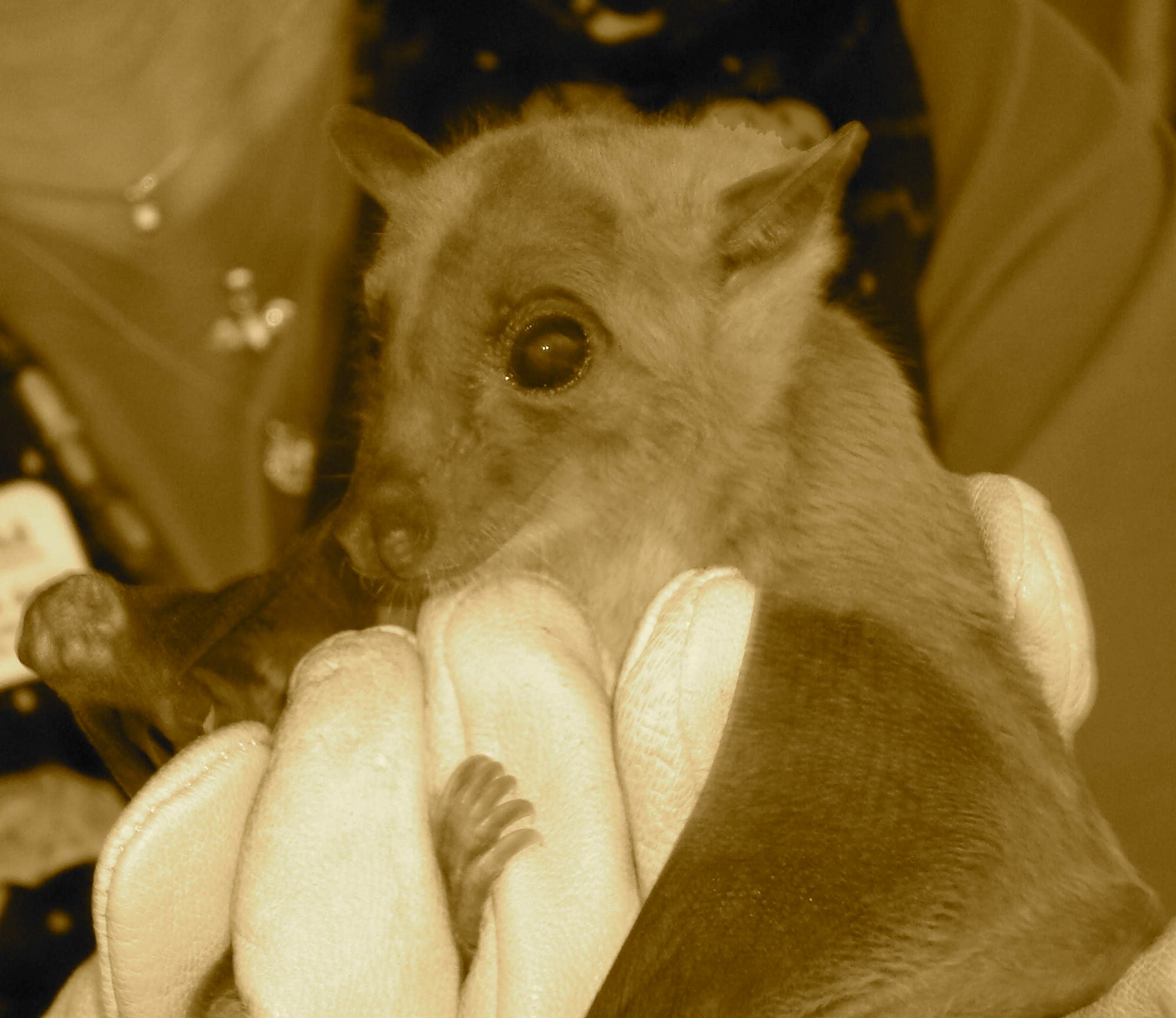
Batty About Bats! Hike and Program at Pettit Environmental Preserve
Batty fun for all ages!
Saturday, October 11 from 10 am - 5 pm
Batty About Bats will feature boatloads of bat lore to banish bad information about your beneficial neighborhood bats! Learn about bat habitat, diet, and dispel pesky bat myths. This is one of the Preserve’s quarterly public hikes.
In addition to the Batty About Bats program, visitors may hike one of the Preserve’s three trails which range in length from a stroll of .25 mi to a 1.7 mi loop trail around the lake. Leashed dogs are welcome, but the trails do not accommodate strollers.
Admission is $3 per person/max $10 per family or FREE to members and includes program, parking & hiking. Membership info available at www.pettitpreserve.org/membership
Find out what's happening in Cartersvillefor free with the latest updates from Patch.
The Preserve provides hands-on environmental education with curriculum aligned field trip programs for K-12. Additionally offerings include Pre-K programs, Scout Badge programs, Summer Daycare field trips, and Youth Fishing & Outdoor camps.
The Preserve is a 70-acre property located in Bartow County that has not been timbered in over 70 years. With rolling hills characteristic of the area, the Preserve has a 9-acre lake that is a vital part of the habitat for native wildlife including deer, wild turkey, beaver, bobcat, turtle, bass, bream, and catfish. The property also features a 36’ Swinging Bridge, a 70’ floating bridge, & a stone amphitheater next to the small waterfall.
Find out what's happening in Cartersvillefor free with the latest updates from Patch.
Directions to the Pettit Environmental Preserve Cartersville, GA
If you are using GPS, enter “Douthit Bridge Rd, Paulding County”
From Cartersville – Take Highway 113/61 South; turn left on Hwy 61 at Cartersville airport.
**Follow Hwy 61 for 3.8 miles, then turn left on Douthit Bridge Rd (at Birchwood subdivision).
++After .4 mi the road becomes one-lane, unpaved; proceed to fork in road and take right on Vineyard Rd; continue for another 1.6 mi (passing through two gates) to The Pettit Preserve.
Parking is in two graveled lots just before you get to the Learning Shed.
From I-75:
Take Exit 285, Red Top Mountain and head WEST (away from the State Park). Go straight at the traffic light; road becomes Old Alabama Rd. Proceed on Old Alabama for approximately 7 miles. At stop sign, turn LEFT onto Hwy 61.
Proceed with Cartersville directions from **
From Dallas:
11.5 miles on Hwy 61 North/Cartersville Hwy. Turn RIGHT on Douthit Bridge Rd at Birchwood subdivision.
Proceed with above Cartersville directions from ++
From Hwy 41, Marietta
Go north on Cobb Parkway-Hwy 41 (all the way up to the Acworth/Lake Allatoona area)
You will pass Hwy 92 and Cedarcrest Rd
Turn left at Light on Black Acre Trail (right is 3rd Army Rd)
This road will change names to Dabbs Bridge Road
Pass Senator’s Ridge (large subdivision) to a four way stop,
Turn RIGHT onto Harmony Grove Church Road
Go approximately 1 ½ miles, you will come to a stop sign @ Dallas/Cville Hwy
Turn right onto Dallas Cartersville Hwy
Go .2 mile to 1st right, Douthit Bridge Rd
Turn RIGHT and Proceed with above Cartersville directions from ++