
More spring showers on the way today. The models have actually shown a weaker system as it approaches our area later today, so no severe weather in our immediate forecast. There could be some thunder and we may have some gusty winds in the vicinity of the rain, but nothing to write home about.
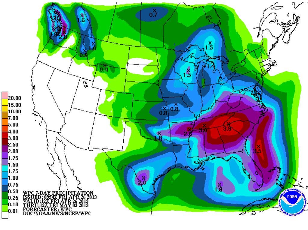
We'll have another chance on Saturday through about Tuesday, the exact strength, location, and timing of this system, may need watching. Atlanta NWS said this in their AM forecast discussion:
ECMWF AND GFS ARE IN BETTER AGREEMENT IN REGARDS TO THE TIMING AND STRENGTH OF THE UPPER LEVEL SHORT WAVE PROGGED TO SHIFT FROM THE MIDDLE PLAINS FRIDAY NIGHT INTO THE TENNESSEE VALLEY BY SUNDAY. DESPITE BETTER AGREEMENT OF TIMING OF THE SHORTWAVE...GFS AND ECMWF DIFFER ON TIMING OF PRECIP RETURNING TO CWA. ECMWF APPEARS TO BE THE FASTEST WITH BRINGING PRECIP IN THE FIRST HALF OF FRIDAY NIGHT...NAM AND SREF ARE IN BETWEEN THE GFS AND ECMWF WITH BRINGING IN PRECIP THE SECOND HALF OF FRIDAY NIGHT...WHILE THE GFS IS THE SLOWEST AND HOLDS IT OFF UNTIL SATURDAY. HAVE GONE BASICALLY WITH AN AVERAGE AND STARTED INTRODUCING POPS AGAIN FRIDAY NIGHT. ALTHOUGH THE SHORTWAVE SHIFTS EAST OF THE CWA BY SUNDAY NIGHT...ACTIVE PATTERN STILL REMAINS THROUGH THE LONG TERM. UPPER RIDGE BUILDS ACROSS THE CWA BY TUESDAY...HOWEVER THIS DOES NOT REALLY HAVE A ROLE IN SUPPRESSING CONVECTION ACROSS THE AREA IN THE GFS SOLUTION. IT WILL ONLY SERVE TO HELP INCREASE OUR MAX TEMPS. ECMWF IS STRONGER WITH THE RIDGE AND SUPPRESSES CONVECTION SOMEWHAT BUT THINK THE RIDGE MAY BE TOO STRONG SO LEANING TOWARD THE GFS AND STILL CARRYING CHANCE POPS IN THE FORECAST. INSTABILITY AS DEPICTED BY THE GFS IS CONSIDERABLY LESS IN THE 00Z RUN AS COMPARED TO 24 HOURS AGO AND NOW LOOKS A LITTLE TOO LOW. EXCEPT FOR WHEN THE RAIN BEGINS MOVING IN FRIDAY NIGHT...EACH DAY IS CONDUCIVE TO THUNDERSTORMS.
Find out what's happening in Daculafor free with the latest updates from Patch.
So we'll almost be in a summer like pattern with a chance for afternoon thundershowers at least though Tuesday.
The pollen count is down to 659 today and is lower than it's been since April 6th, which is good news for allergy sufferers.
Find out what's happening in Daculafor free with the latest updates from Patch.
Please remember, whenever you need weather information, please visit us at the new and improved DaculaWeather.com. You can also get the latest weather information by following us on Twitter and Facebook DaculaWeather.com... Your Window to the Weather