Health & Fitness
The Heat Returns, Temps to Hit Upper 90s by Midweek
Typical summertime weather with a chance of afternoon and evening thundershowers.

And the heat returns...
High pressure has pushed westward from the Atlantic into our area and will bring very hot temperatures with it as we progress through the week. Fairly strong upper level ridging with help cap the lower atmosphere and prevent any widespread shower and thoundershower activity for the next several days.
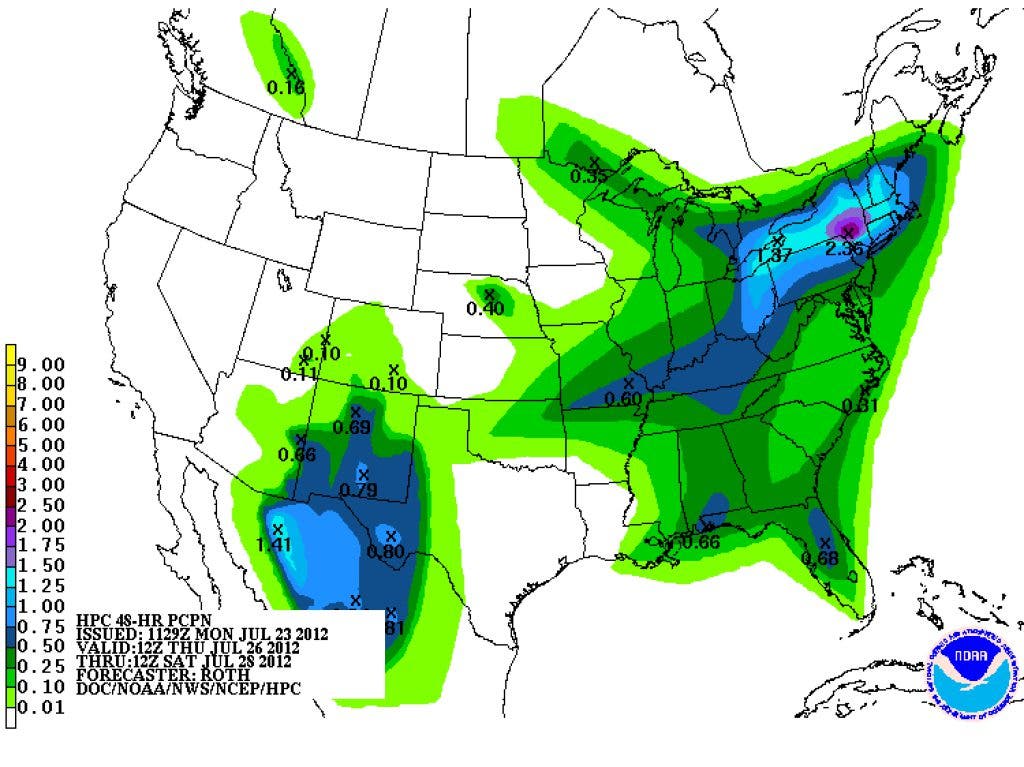
The air is still very moist with dew points in the lower 70s and precipitable water values of 1.5" - 1.9" over our area. What this means is that once we get the really hot temperatures of the day, it's possibe that the combination of the heating combined with the ample supply of moisture, will allow for a few storms to break the cap. Coverage will be about like it was on Sunday with about a 30 percent chance that you might get a shower before the evening is over. We still remain in a west to southwest flow that will continue to bring moisture from the Gulf over most of the southeast.
Find out what's happening in Daculafor free with the latest updates from Patch.
Look for temperatures to approach the upper 90s by Wednesday with the possibility of some moderation by Thursday/Friday timeframe. Expect the main threat from these thundershowers to be locally heavy rainfall and gusty winds.
_________________________________
Find out what's happening in Daculafor free with the latest updates from Patch.
Please remember, whenever you need weather information, please visit us at the new and improved DaculaWeather.com. You can also get the latest weather information by following us on Twitter and Facebook DaculaWeather.com... Your Window to the Weather