Health & Fitness
We Start Mild and End up Wet
Seasonal temperatures will be followed by an increase in moisture.
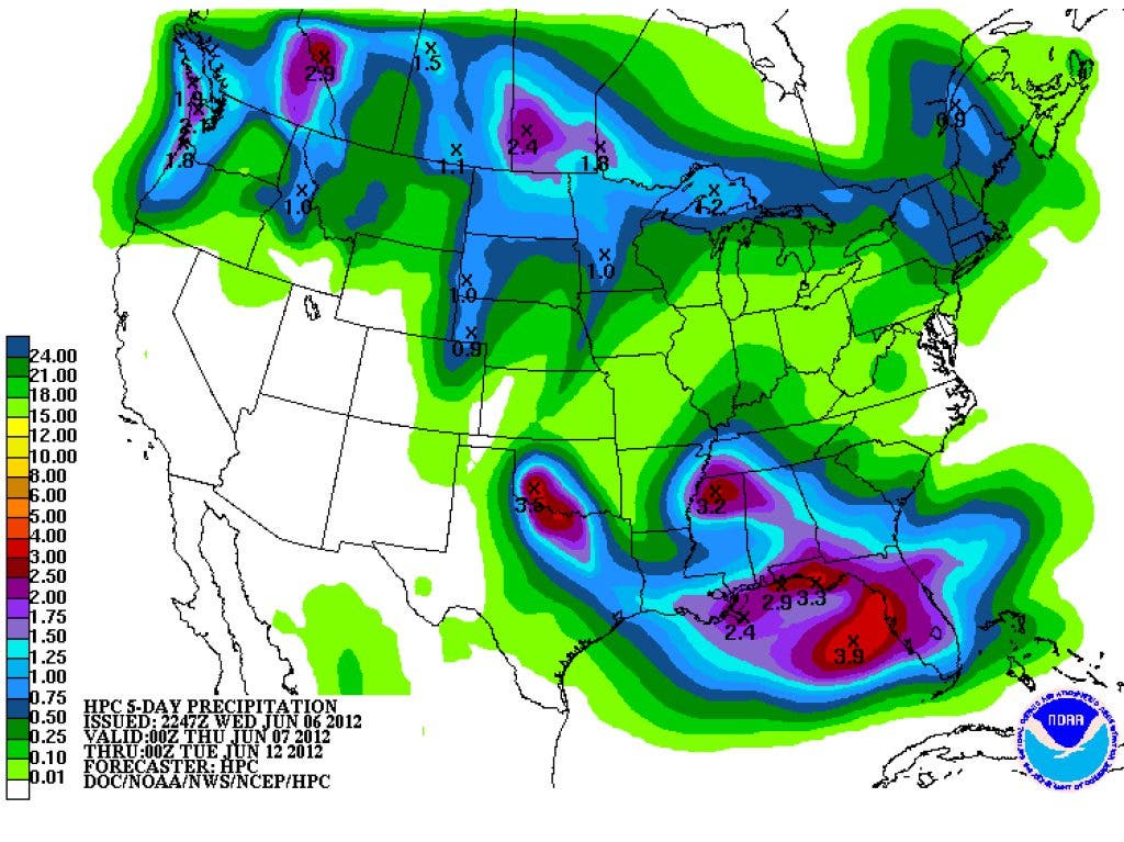


Pleasant conditions prevail over much of the eastern U.S. this morning as a high pressure area builds into the southeast. Temperatures dipped into the 50s this morning in our area and we can expect these conditions to continue all the way through most of the day Saturday before we get a return of Gulf moisture and a chance for showers. Beginning late Saturday, a steady stream of warm moist gulf air will provide the energy for showers and thundershowers that will stick with us through next Tuesday or Wednesday.
I'm sure you remember how hot it was the first week of June last year, but just in case you've already forgotten, here's how the first six days of June 2012 compared to the same period last year:
June
Find out what's happening in Daculafor free with the latest updates from Patch.
You can see the tremendous difference in the temperatures. The first six days of June last year all had highs in the mid to upper 90s, which were almost 10-15 degrees above our normals. This year the high for the first six days was 84, just a degree above the normal.
You can find more past climate records here as well as graphs of the data here.
Find out what's happening in Daculafor free with the latest updates from Patch.
It's the time of year that we need to start watching for tropical development. I have several pages that can help to monitor the tropics, one page is devoted to sea temperatures. The warmer the ocean, the more energy that's available to be used for tropical development. Another page depicts the amount of shear in the atmosphere. Shear tends to weaken or even tear apart storms and is important in helping to determine the future strength of a storm. You can view the shear map here. Keep in mind when looking at the map and reference the legend on the right of it, the more shear, the less likely a storm will develop or intensify. Another page is used to track the Sharan Air Layer, also known as SAL. This map shows us how dry/moist/dusty the air is coming off of the African continent. For storm development, it obviously shouldn't be too dry, and the dustier the better. As you probably already know, raindrops form around dust particles, so the dustier it is, especially over the warm ocean, the greater potential for rainfall. We'll keep an eye open for any development in the tropics and let you know how it might effect us down the road. I would be thrilled if the remnants of a tropical system parked itself over our area for a few days, we need the rain!
Please remember, whenever you need weather information, please visit us at the new and improved DaculaWeather.com.
You can also get the latest weather information by following us on Twitter and Facebook
DaculaWeather.com... Your Window to the Weather