Weather
Cold And Snowy Monday, Then Storms, Temps In 70s By Mid-Week In IL
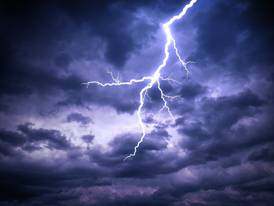
Stormy weather is possible on Wednesday and Thursday.

ILLINOIS — After several days of summer-like weather, Monday will be cold and blustery, according to the National Weather Service. The high for the day is 44 degrees, which is about 20 degrees below normal for this time of year and nearly 40 degrees colder than it was last week, when record temperatures were recorded at O'Hare.
Snow showers are possible Monday morning, and could cause patchy slick spots on ramps and bridges, the weather service said. Wind chills will be between 15 and 25 degrees.
Freezing temperatures contributed to several crashes Monday morning.
Find out what's happening in Across Illinoisfor free with the latest updates from Patch.
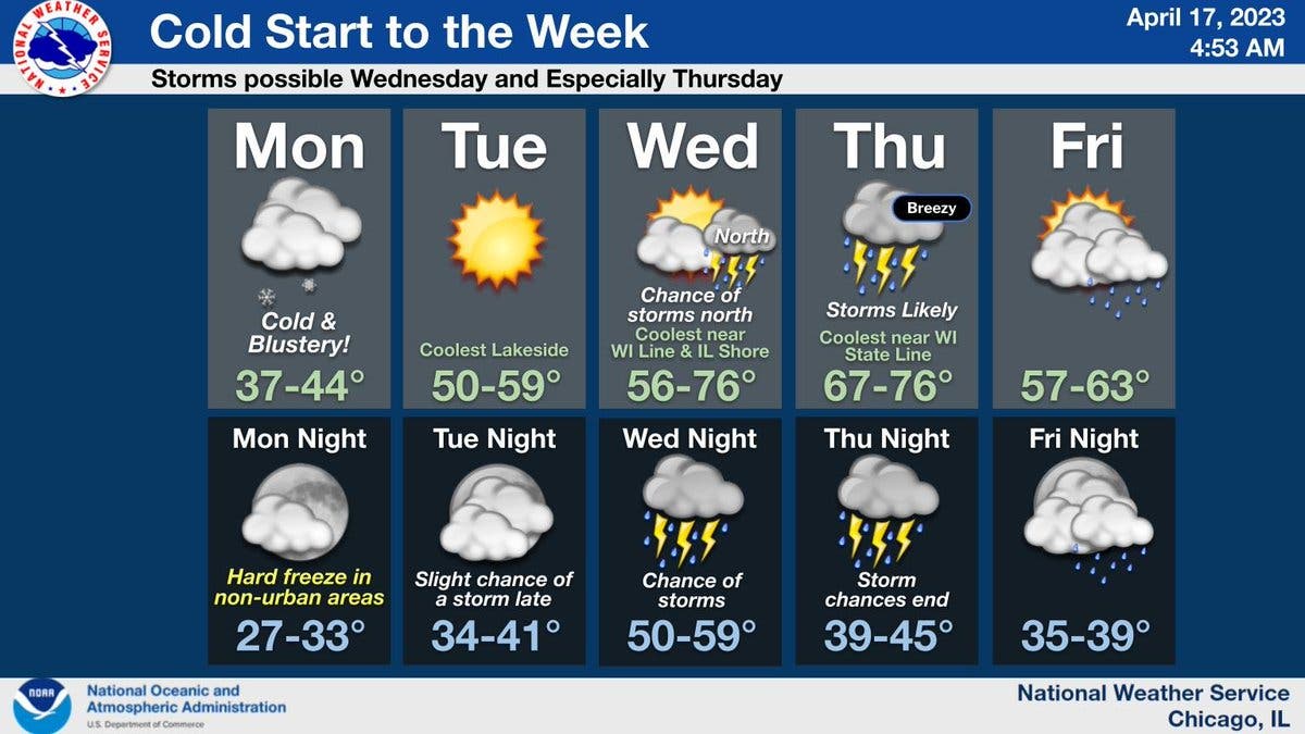
Tuesday will begin to warm again, with a high of 59. It will be dry and sunny, with a slight chance of a storm late Tuesday night, according to the weather service.
Storm chances will increase starting late Tuesday through Thursday, especially on Thursday afternoon, the weather service said.
Find out what's happening in Across Illinoisfor free with the latest updates from Patch.
Wednesday and Thursday will both be warmer, with a high of 76 degrees.
Wednesday will have a chance of storms, especially for northern suburbs, and storms are also likely on Thursday. Thursday will be breezy, and coolest near the Wisconsin-Illinois state line, according to the weather service.
AccuWeather said there will be a high of 72 degrees on Thursday in Joliet. The private forecaster gave a 46 percent probability of thunderstorms on Thursday, and .63 inches of rain predicted.
Friday will be slightly cooler again, with a high of 63, and rain showers are possible, according to the weather service forecast.
Get more local news delivered straight to your inbox. Sign up for free Patch newsletters and alerts.