Weather
Severe Storms Could Bring Large Hail, Damaging Winds To Chicago Area Thursday
Here's when and where storms are expected to hit.

Severe storms are possible Thursday afternoon, and could bring damaging winds and damaging large hail, the National Weather Service shared.
Storms will develop Thursday afternoon, near and south of Interstates 88 and 290, the weather service said. Warm conditions are expected on Thursday before a cold front in the afternoon.
"Thunderstorms may linger into the evening hours Thursday, especially well south of I-80," the weather service said.
Find out what's happening in Across Illinoisfor free with the latest updates from Patch.
Storms could be severe, mainly in the 3 to 9 p.m. hours and near or south of Interstate 80, according to the weather service.

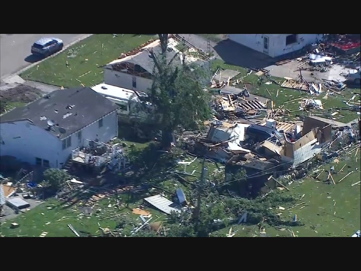
Severe storms could have damaging hail larger than 2 inches in diameter, and locally damaging winds, according to the weather service.
Find out what's happening in Across Illinoisfor free with the latest updates from Patch.
Highs on Thursdays could be in the 70s and 80s before a cold front chills temperatures. The cold front will "race through the areas" Thursday afternoon or evening, and then the high on Friday is just 47 degrees.
The exact location of severe threat could change depending on the timing of the cold front, the weather service said.
After the possibly severe weather on Thursday and cooler temps Friday, it looks like temperatures will warm again through the weekend with a high of 54 on Saturday and 63 on Sunday.
Get more local news delivered straight to your inbox. Sign up for free Patch newsletters and alerts.