Weather
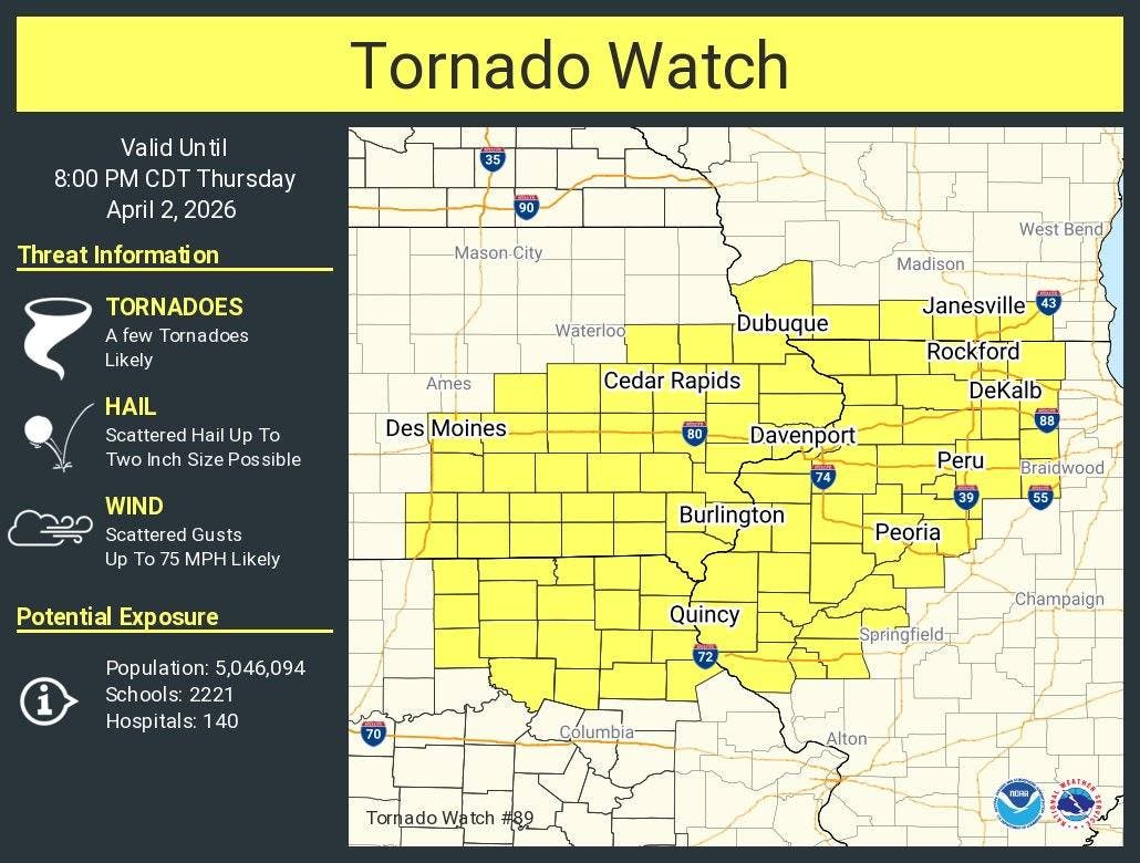
Tornado Watch Issued For Parts Of Chicago Area
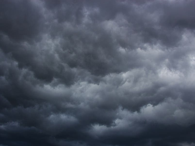
The main threats with the storms will be damaging wind and hail, as well as tornadoes.

A tornado watch has been issued for northwestern Illinois, including areas like Rockford and DeKalb. The watch is in effect until 8 p.m. Thursday for Adams, Boone, Brown, Bureau, Carroll, Cass, DeKalb, Fulton, Grundy, Hancock, Henderson, Grundy, Jo Daviess, Kane, Kendall, Knox, La Salle, Lee, Marshall, Mason, McDonough, McHenry, Menard, Mercer, Morgan, Ogle, Peoria, Pike, Putnam, Rock Island, Schuyler, Scott, Stark, Stephenson, Tazewell, Warren, Whiteside, Winnebago and Woodford counties.
"Thunderstorms will gradually intensify this PM. Through about 430 PM, storms near/west of the Fox Valley may pose a threat for localized damaging winds and perhaps a few tornadoes along with localized flooding," the National Weather Service said.
The main threats with the storms will be damaging wind and hail, as well as tornadoes. Timing will be primarily between 3 and 9 p.m., according to the weather service.
Find out what's happening in Across Illinoisfor free with the latest updates from Patch.
Thursday's high will be 74 degrees, and strong non-thunderstorm winds are also expected, the weather service said. A wind advisory is in effect from 10 a.m. to 7 p.m. for most of the Chicago area as peak gusts up to 50 mph are expected.
An "active weather pattern" will continue through Saturday. Severe storms are also possible Friday afternoon and evening, the weather service said.
Find out what's happening in Across Illinoisfor free with the latest updates from Patch.
Dry weather will make a return on Sunday, as well as "more seasonable temperatures," the weather service said.
Get more local news delivered straight to your inbox. Sign up for free Patch newsletters and alerts.