Politics & Government
Geographic Info System Empowers Public Works
GPS-driven tools provide detailed online mapping for residents, and village workers.
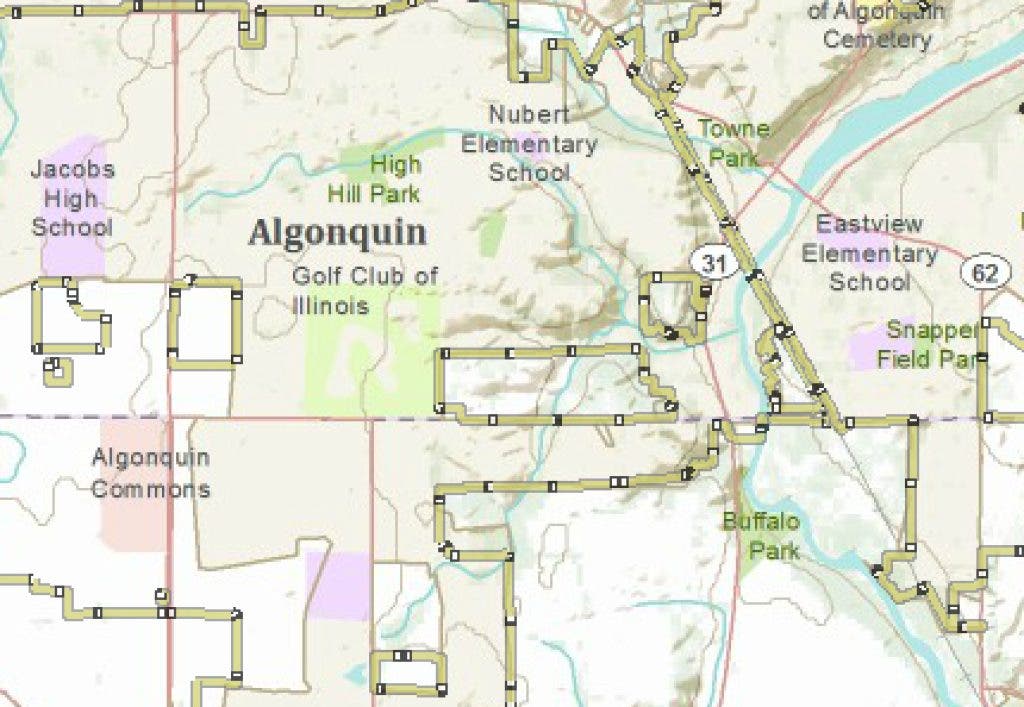
Eliminating driving time, labor hours, paper use and analysis requests, a new geographic information system is raising the efficiency level for the Algonquin Public Works Department.
It also makes available 12 online maps for residents to access information like bike trails, and boundaries for schools, park districts and libraries.
"We use it for so many things, multiple times every day, it would almost be impossible to count," said Public Works Director Bob Mitchard. "Every department uses it."
Find out what's happening in Algonquin-Lake In The Hillsfor free with the latest updates from Patch.
Mitchard says he looks up parcel addresses, property owners' names, and visuals of properties so he can understand better what a resident is calling about. And, the village uses it for making capital improvements decisions, he added.
Brian Parker, GIS analyst for the village, managed the development and implementation of the system. He joined the village in 2005 and began the integral process of collecting data for every piece of information on the system. The previous system was much less accurate with identifying location, he noted.
Find out what's happening in Algonquin-Lake In The Hillsfor free with the latest updates from Patch.
"Now, we are within a centimeter of accuracy," he said.
The storm system element of the GIS has 125,000 structures. The data shows the village the direct path of the water.
"Let's say there is an accident and there is fuel leaking … we can see where it would end up," Parker said.
That capability enables the public works team to communicate to residents, and authorities, about how the community will be affected.
Field workers also can use the system to garner history on equipment in the community. For instance, each fire hydrant is programmed into the system. Maintenance, flushing and parts tables are provided for each one, so a worker doesn't have to go to the hydrant site, take notes and return to public works for research and analysis.
"We've automated things so workers can actually click on something and see that data live," Parker said. "The key (outcome) is efficiency."
The GPS equipment is valued at $23,000, but was acquired for $16,000, he said.