Weather
Rain, Thunderstorms Expected Throughout the Day: Hazardous Weather Outlook
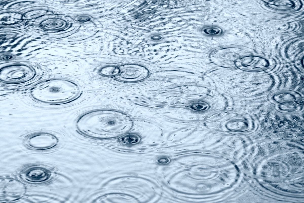
A hazardous weather outlook has been issued for all counties in the Chicago area.

It’s truly a dreary Thursday.
A hazardous weather outlook has been issued for northeast Illinois for today and tonight and weather officials are predicting an elevated thunderstorm risk and limited flooding risk for portions of the area. There will be several waves of showers and thunderstorms Thursday -- most of which will not be severe. Later in the day and this evening, a few stronger storms are possible across northwest Illinois and may move into north central Illinois.
Those strong storms are expected to remain west of the Chicago area.
Find out what's happening in Chicagofor free with the latest updates from Patch.

Other than the rain and cloudy skies, Thursday will see unseasonably warm temperatures. Temperatures will range from 72 to 84 degrees for different portions of the Chicago area, according to the National Weather Service.
Storms are expected overnight northwest of Interstate 55 but should be dry elsewhere. On Friday, temps should be cooler, between 63 and 76 degrees, for the Chicago area with a chance for rain.
Find out what's happening in Chicagofor free with the latest updates from Patch.
Check back to Patch on Friday for our weekend weather update. Subscribe to Patch Email Alerts to receive breaking news alerts about weather and other news stories of interest.
- Do you have weather photos? Reports of flooding? Other weather-related news to report? E-mail Patch editor Amie Schaenzer at amie.schaenzer@patch.com.
Photo via Shutterstock
Get more local news delivered straight to your inbox. Sign up for free Patch newsletters and alerts.