Community Corner
McHenry Co. Introduces Interactive Bike Path Map
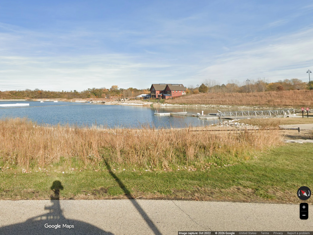
The map of McHenry County's biking and hiking trails help people plan their outdoor adventures.
From McHenry County: Cyclists and hikers who enjoy McHenry County’s many miles of bike paths and trails now have an online tool to plan their next adventure.
The McHenry County Division of Transportation and the McHenry County Geographic Information Systems Department have created an interactive bicycle and park trail map, which after several years of data compilation represents the most comprehensive collection of publicly accessible bicycle and hiking trails in the county.
The interactive map is primarily intended to assist cyclists, ranging from casual to more experienced, as they plan their routes along McHenry County’s paths. Users can choose among a dozen different base maps, turn layers on and off as needed, and search or click onto any layer to learn more information about a particular feature. The map also provides locations of nearby parking and bicycle shops.
Find out what's happening in Crystal Lake-Caryfor free with the latest updates from Patch.
To access the map, visit the MCDOT website at www.mchenrycountydot.org, click on“Maps/Traffic Counts/Publications” on the left side and scroll down to the interactive maps section.
Other interactive maps that GIS and MCDOT have developed together include active construction projects on county highways, a collection of historic road maps, and a map of nondedicated subdivision roads.
Find out what's happening in Crystal Lake-Caryfor free with the latest updates from Patch.
We would like to thank county staff for development of the web application, and the many
municipalities that assisted with the path and trail information. Visit our website, connect with us on Facebook at www.facebook.com/mchenrycountydot, or follow us on Twitter at @DOTMcHenry to learn more about MCDOT.