Ages 15+
When navigating on land you use a map. At sea there are no streets or signposts. Everything looks the same. For navigating at sea, we use a chart. Sailors use charts to navigate safely to their destination and return to port. Charts contain information on dangerous areas, aids to navigation, harbors, wrecks, depth of water, bottom type, and magnetic variations affecting the compass. This course will provide the recreational boater with the knowledge to interpret the chart’s contents in order to operate the boat safely. Text and training chart included.
This post was contributed by a community member. The views expressed here are the author's own.
The views expressed in this post are the author's own. Want to post on Patch?
More from Des Plaines
Community Corner|
Wheeling Township Seeks Donations for Ready 4 Success Program

Crime & Safety|
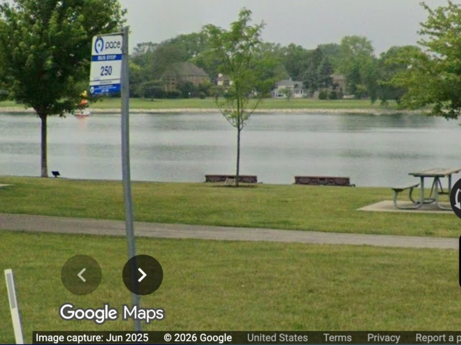
Man Found Dead In Water At Lake Opeka: Des Plaines Police
Crime & Safety|
Man Arrested In I-294 Road Rage Shooting Near Des Plaines