Crime & Safety
Elmhurst More Likely To Issue Tickets During Traffic Stops
Its rates of citing drivers are higher than in other towns, according to state reports.

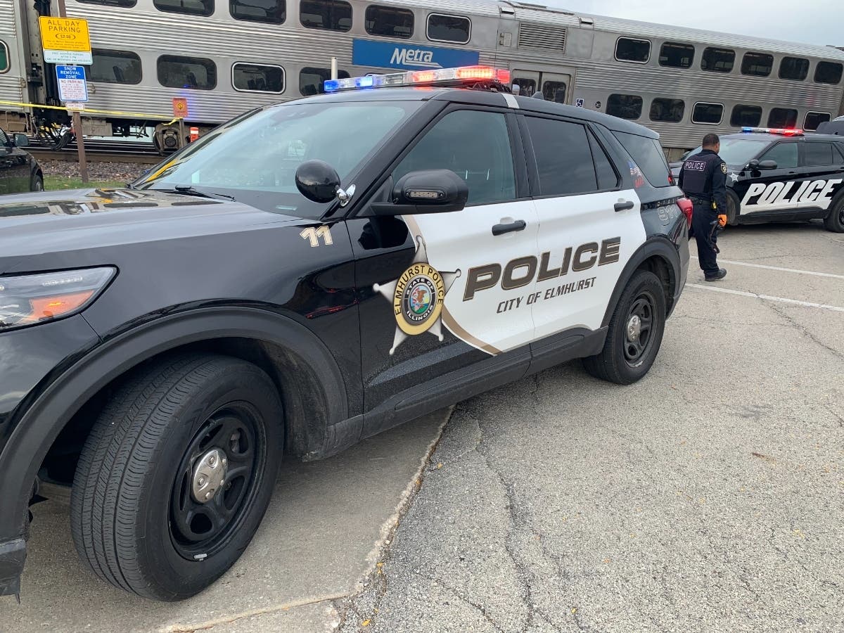
ELMHURST, IL – The Elmhurst Police Department's number of traffic stops fell in the early 2020s, but it has since rebounded.
Whatever the level, you're more likely to get a ticket during an Elmhurst traffic stop than in other towns. It's been that way for at least a couple of decades.
This week, Patch examined the traffic stop reports for the last couple of decades in Elmhurst, as well as La Grange, Hinsdale, Darien, Burr Ridge, Western Springs and Clarendon Hills. The state mandates annual reports.
Find out what's happening in Elmhurstfor free with the latest updates from Patch.
The latest data is from 2024. In that year, Elmhurst police conducted 10,934 traffic stops, which works out to about 30 a day.
The number of stops is higher than in 2019, when officers reported 10,408 stops.
Find out what's happening in Elmhurstfor free with the latest updates from Patch.
Since 2004, Elmhurst officers have given tickets during about half of their traffic stops. The percentages range from 43 percent to 62 percent, with 2012 as an exception.
In that time, the six other western suburbs surveyed typically have had lower rates of traffic stops resulting in tickets.
In 2015, Illinois enacted a law banning police departments from enforcing citation and arrest quotas, although most agencies said they maintained no such practices.
That law appears to have had little, if any, effect in Elmhurst.
Check out the number of traffic stops and the percentages that resulted in tickets:
Elmhurst
2024: 10,934/56%
2023: 8,976/52%
2022: 8,038/52%
2021: 8,167/50%
2020: 7,040/53%
2019: 10,408/51%
2018: 12,140/48%
2017: 11,838/47%
2016: 10,628/43%
2015: 11,426/52%
2014: 10,563/51%
2013: 10,519/62%
2012: 6,741/89%
2011: 12,279/53%
2010: 16,036/53%
2009: 12,615/54%
2008: 8,408/56%
2007: 10,700/54%
2006: 12,127/56%
2005: 12,812/57%
2004: 12,556/45%
Darien
2024: 4,401/26%
2023: 5,301/24%
2022: 5,374/27%
2021: 6,774/26%
2020: 4,944/28%
2019: 4,336/33%
2018: 3,994/38%
2017: 3,027/37%
2016: 2,806/41%
2015: 2,105/42%
2014: 2,819/52%
2013: 3,530/46%
2012: 3,418/32%
2011: 4,466/28%
2010: 4,391/35%
2009: 4,749/39%
2008: 3,893/42%
2007: 4,268/51%
2006: 4,562/50%
2005: 5,535/56%
2004: 5,598/62%
Hinsdale
2024: 4,563/34%
2023: 4,676/33%
2022: 4,869/37%
2021: 4,111/38%
2020: 3,645/45%
2019: 4,704/43%
2018: 4,356/40%
2017: 5,137/42%
2016: 5,381/44%
2015: 5,129/47%
2014: 4,289/51%
2013: 3,771/52%
2012: 4,560/51%
2011: 5,148/54%
2010: 4,725/50%
2009: 5,925/52%
2008: 4,860/57%
2007: 5,800/55%
2006: 5,967/49%
2005: 4,644/47%
2004: 5,514/48%
Clarendon Hills
2024: 2,515/31%
2023: 982/28%
2022: 997/27%
2021: 818/31%
2020: 598/39%
2019: 1,989/51%
2018: 1,993/49%
2017: 1,689/41%
2016: 2,080/39%
2015: 1,842/41%
2014: 2,073/41%
2013: 2,323/48%
2012: 1,463/52%
2011: 2,236/61%
2010: 2,113/66%
2009: 2,881/65%
2008: 2,020/65%
2007: 2,178/53%
2006: 2,250/53%
2005: 2,292/47%
2004: 2,845/45%
La Grange
2024: 2,925/21%
2023: 1,963/23%
2022: No report
2021: No report
2020: No report
2019: 2,340/18%
2018: 2,283/30%
2017: 2,970/34%
2016: 2,837/29%
2015: 2,910/32%
2014: 3,294/35%
2013: 3,346/46%
2012: 3,024/42%
2011: 6,061/35%
2010: 8,001/42%
2009: 6,788/41%
2008: 3,822/57%
2007: 3,117/62%
2006: 3,159/63%
2005: 2,493/69%
2004: 3,492/66%
Western Springs
2024: 1,694/27%
2023: 1,385/21%
2022: 2,214/6%
2021: 2,507/7%
2020: 1,390/13%
2019: 2,563/21%
2018: 2,731/22%
2017: 2,781/22%
2016: 1,623/28%
2015: 2,284/33%
2014: 2,651/45%
2013: 2,901/41%
2012: 2,704/44%
2011: 3,055/49%
2010: 2,369/40%
2009: 2,248/48%
2008: 3,035/59%
2007: 2,943/64%
2006: 2,904/67%
2005: 1,900/50%
2004: 2,293/46%
Burr Ridge
2024: 3,841/33%
2023: 3,498/39%
2022: 3,300/35%
2021: 2,411/33%
2020: 1,733/35%
2019: 3,958/32%
2018: 3,843/31%
2017: 4,248/29%
2016: 4,635/29%
2015: 4,820/34%
2014: 4,546/38%
2013: 4,341/35%
2012: 4,401/32%
2011: 4,853/28%
2010: 4,119/36%
2009: 5,788/34%
2008: 4,761/38%
2007: 3,508/39%
2006: 3,483/46%
2005: 3,457/46%
2004: 3,549/55%
Get more local news delivered straight to your inbox. Sign up for free Patch newsletters and alerts.