Politics & Government
Tornado Season: Know How to Spot a Twister
Tornadoes have already ravaged southern Illinois this year, and 2011 was one of the deadliest tornado years in the last century. So hundreds of area residents came to a severe weather spotter training in New Lenox presented by the National Weather Service


Tornadoes have ripped through the Midwest over the last two weeks, making for a fast start to the 2012 season. This comes just after 2011 saw the highest tornado death toll in nearly a century.
"We really do need to be prepared for this," said Jim Allsopp of the . "A warning is just part of the process. The final step is that people receive the warning and take action."
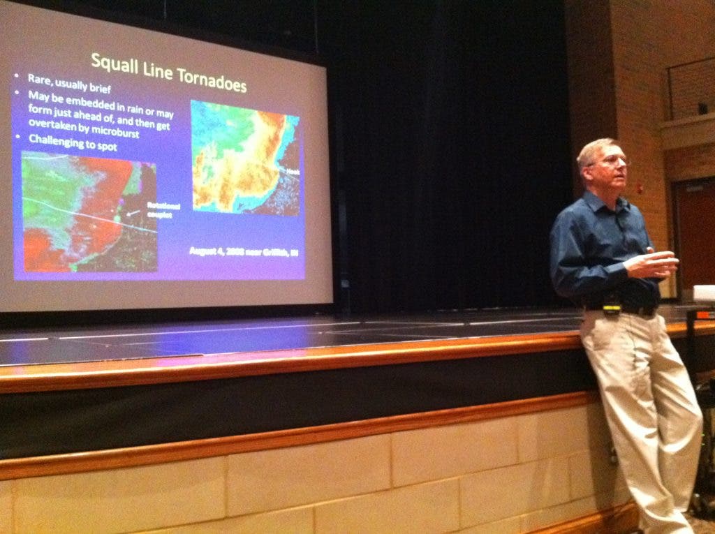
Allsopp presented a severe weather spotter training to a couple hundred area residents March 6 in New Lenox as part of the village's third annual Health & Safety Expo. Everyone who attended became a trained weather spotter.
Find out what's happening in New Lenoxfor free with the latest updates from Patch.
If you couldn't make it, we've gathered some tips from the presentation. You won't technically be a trained spotter by reading this, but hopefully you'll learn something.
Why Spotters Are Important
The National Weather Service issues severe weather warnings and watches so people can prepare for emergencies. It relies on doplar radar, but also heavily on eye witness accounts from weather spotters.
Find out what's happening in New Lenoxfor free with the latest updates from Patch.
"If we can actually tell people there's a tornado on the ground rather than just saying ‘the radar indicates a rotation,’ the public is likely to react more," Allsopp said.
What Constitutes 'Severe' Weather?
- Tornadoes and floods
- Hail that is at least 1 inch in diameter or larger
- Wind that is 58 mph or greater
- NOT heavy rain or lightning
Spotting a Tornado
Most of the presentation focused on tornadoes because they can be the most destructive form of severe weather and the hardest to spot with certainty.
Generally when a thunderstorm forms, you’ll see the heavy rainfall on one end, a dark, rain-free cloud base on the other, and in the center a lowering "wall cloud." About 25 percent of the time, a wall cloud actually becomes a tornado.
Allsopp said the place to keep an eye on is that center, where the strong updraft is found. That's where the warm, moist air rises into the storm. There are three key things to look for when determining whether a tornado is forming:
- Rapid rotation (is the lower portion of the cloud moving in a circle?)
- Strong inflow (is wind and debris being pulled toward the wall cloud?)
- Clear slot (is there an opening that wraps around the backside of the storm?)
What's Not a Tornado?
Spotting a tornado can be tricky because there are so many impersonators, Allsopp said. There are a lot of things that might look like tornadoes at first, but don’t call it in immediately if you aren’t sure.
"Just wait a minute and see what it does," Allsopp said. "If it doesn’t spin, don’t call it in."
For example, rain in the distance may sometimes appear shaft-like when falling from clouds. Smoke coming from the ground up toward the sky may look like a funnel. And there’s such a thing as “gustnadoes,” which is basically heavy wind kicking up dust, sometimes even into a slight rotation. Some dark clouds may have ragged edges and finger-like clouds hanging below. These are not tornadoes, and neither is something that doesn't extend from the storm cloud down to the ground.
Safety Tips for Spotting
- Allsopp didn't encourage people to go out storm chasing in their cars, especially in Chicago traffic. Most people do it from their back yards or offices.
- Right Hand Rule: If you do go chasing storms, stay to the southeast of it. The heavy rainfall should be to your right with the storm heading northeast. That way, you can see the entirety of the tornado without the rain blocking your line of sight and without you getting caught up in the middle of the tornado.
- Don’t try to outrun a tornado in your car—they can move up to 60 mph of more.
- Have an escape route.
- Seek shelter in a sturdy building away from windows, or as a last resort lie down in a ditch or low spot.
- Don’t spot at night, because visibility is so low.
How to Report
Call 800-681-2972 or call on your ham radio. The Weather Service prefers talking to someone in case they have questions. You may also report online at espottercrh.noaa.gov or via Twitter using the hash tag #wxreport.
When you report something, trained spotters should identify themselves as such to lend credibility to their report. You should also provide details for when and where you saw the severe weather.
If you’re uncertain whether something is a tornado, express that uncertainty in your report. For example, you can say you see a lowering wall cloud but you can’t be sure if it’s actually rotating.
Get more local news delivered straight to your inbox. Sign up for free Patch newsletters and alerts.