Community Corner
Storms in Forecast for This Afternoon, Evening
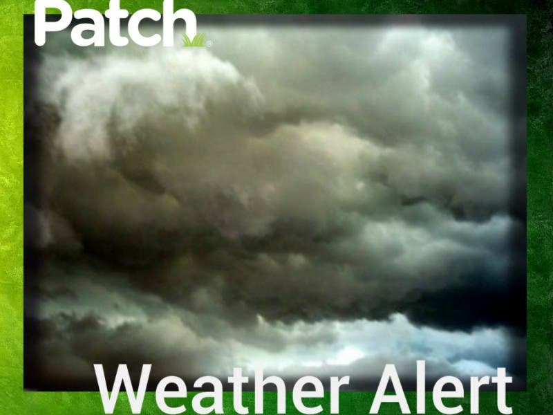
The storms could produce heavy rain, strong winds and frequent lightning.

Storms could hit the Chicagoland area during the evening rush hour Monday with more severe storms in the forecast for Tuesday and Wednesday.
The National Weather Service has issued a hazardous weather outlook for counties throughout the suburbs with storms expected to enter northern Illinois this afternoon and evening. The storms could produce isolated and scattered thunderstorms. The strongest storms may produce wind gusts of 50 to 60 mph, frequent lightning and heavy downpours, according to the National Weather Service.
Find out what's happening in Palatinefor free with the latest updates from Patch.
There is only a marginal risk for severe thunderstorms for the western portion of Chicago Monday but the risk for stronger storms could increase on Tuesday and Wednesday, according to the WGN Chicago Weather Center.
“Strong to severe storms with heavy flash-flood-producing downpours in addition to damaging winds/hail will be more likely here later Tuesday into Wednesday,” the Chicago Weather Center reports.
Find out what's happening in Palatinefor free with the latest updates from Patch.
Highs in the upper 80s are expected Monday but temps will cool off a bit for the rest of the week. Highs in the upper 70s or lower 80s are predicted through Friday for the suburbs.
Visit the National Weather Service for more updates and information.
Get more local news delivered straight to your inbox. Sign up for free Patch newsletters and alerts.