Weather
MD Faces Summer-Like Heat Before Rain, Chilly Temps Return: What To Expect
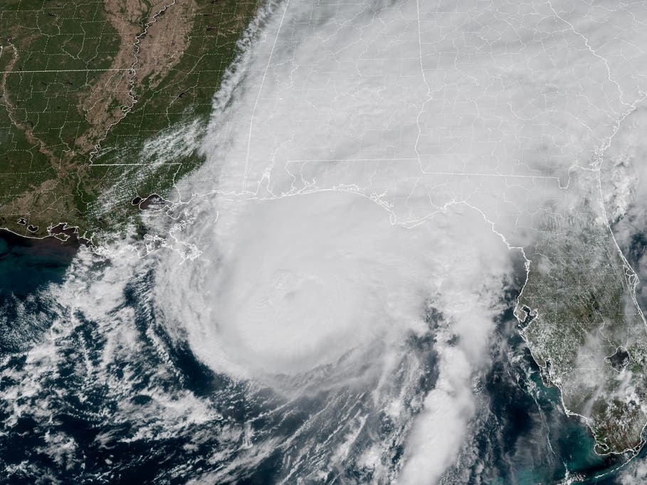
After getting soaked by Hurricane Isaias remnants, Maryland is gearing up for a quick taste of summer weather before the rain returns.


Heavy showers left much of Maryland drenched over the weekend as the remnants of Hurricane Isaias moved through the region. The rain, however, isn't quite done with the Old Line State this week — and neither is summer.
Rainfall numbers on Sunday ranged between 1 and 3 inches, with isolated totals of more than 5 inches in some areas, according to National Weather Service figures.
Some of the heaviest rain fell in parts of Anne Arundel County, where Annapolis (4.03) and Cape St. Claire (5.23) recorded the county's highest rainfall.
Find out what's happening in Across Marylandfor free with the latest updates from Patch.
Showers forecasted later this week are not expected to be quite as intense.
A Taste Of Summer
The first half of the week will be mostly clear and breezy, with temperatures peaking in the low- to mid-80s and wind gusts of 10 mph.
Find out what's happening in Across Marylandfor free with the latest updates from Patch.
Come Wednesday, things take a slight shift as humidity levels send feels-like temperatures nearing the 90-degree mark.
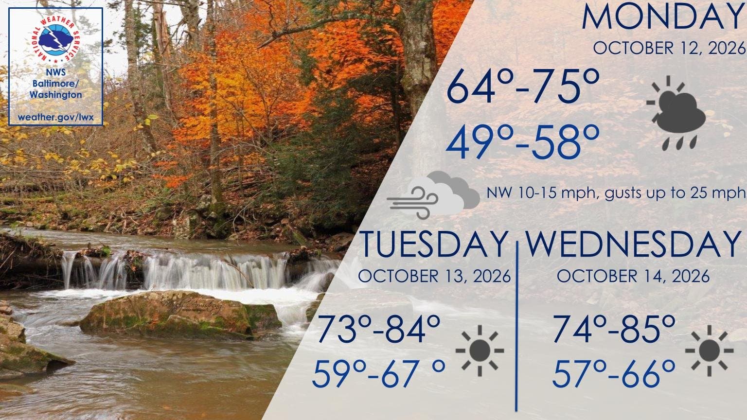
Temperatures are expected to plummet to the 60s by nightfall, just as sunny conditions give way to mostly cloudy conditions.
Here Comes The Rain — And Chilly Temps
Latest forecasts by the National Weather Service suggest showers are possible Wednesday night as a warm front moves through the region.
The chance for rain sticks around through the end of the work week. Early timelines suggest rainfall could begin after 2 p.m. Thursday before additional overnight showers going into Friday.
Officials say the biggest chance for thunderstorms is Friday, when the day's high temperatures max out in the high 70s.
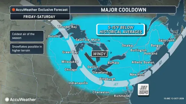
Current forecast suggests the weekend will be cool, offering mostly sunny and clear conditions.
AccuWeather reports this weekend's temperatures, set to peak in the 50s, could be the "coldest air of the season so far."
Detailed Forecast For Baltimore Region
Columbus Day: Partly sunny, with a high near 74. Northwest wind 9 to 11 mph, with gusts as high as 18 mph.
Monday Night: Mostly clear, with a low around 57. Northwest wind around 5 mph becoming calm in the evening.
Tuesday: Sunny, with a high near 80. Calm wind becoming south 5 to 8 mph in the afternoon.
Tuesday Night: Clear, with a low around 66. Southwest wind 5 to 7 mph.
Wednesday: Sunny, with a high near 84. West wind 5 to 8 mph.
Wednesday Night: A slight chance of showers. Mostly cloudy, with a low around 63. Chance of precipitation is 20%.
Thursday: A slight chance of showers after 2 p.m. Partly sunny, with a high near 70. Chance of precipitation is 20%.
Thursday Night: A chance of showers, mainly after 2 a.m. Mostly cloudy, with a low around 60. Chance of precipitation is 30%.
Friday: A chance of showers and thunderstorms. Partly sunny, with a high near 77. Chance of precipitation is 40%.
Friday Night: A slight chance of showers before 2 a.m. Partly cloudy, with a low around 46. Chance of precipitation is 20%.
Saturday: Mostly sunny, with a high near 56. Breezy.
Saturday Night: Mostly clear, with a low around 38.
Sunday: Sunny, with a high near 58.
Get more local news delivered straight to your inbox. Sign up for free Patch newsletters and alerts.