Weather
Maryland Weather: Record Cold Temps Possible, Freeze Watch Issued
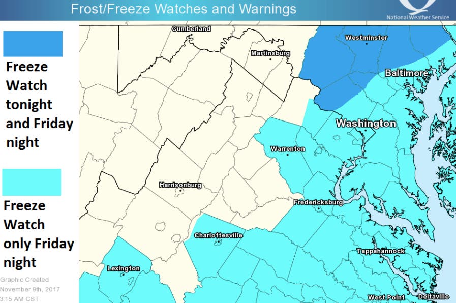
Bundle up Maryland. A freeze watch takes effect Friday, and some areas might see record low temperatures.

BALTIMORE, MD — It will feel like winter Friday night and at early Veterans Day ceremonies this weekend, so bundle up. Weather forecasters say the Baltimore/Washington, D.C. region could set some records for overnight lows Friday into Saturday. The National Weather Service has issued a freeze watch from 7 p.m. Friday to 10 a.m. Saturday for much of Maryland.
Temperatures will fall below freezing soon after sunset Friday night and remaining below freezing through much of the morning Saturday. The last places to fall below freezing will be the urban centers and shoreline of the Chesapeake Bay and tidal Potomac River, but even these areas will reach the upper 20s by
dawn Saturday, says the weather service. The coldest spots may fall into the upper teens.
Frost and freeze conditions will damage or kill sensitive vegetation on Friday night. Take steps now to protect tender plants from the cold.
Find out what's happening in Annapolisfor free with the latest updates from Patch.
Areas included in the watch: Washington, D.C., and all or parts of Baltimore, Prince George's, Anne Arundel, Charles, St. Marys, Calvert, Montgomery, Howard, and Harford counties. Also in the watch area: the city of Baltimore, Bowie, Suitland-Silver Hill, Clinton, College Park, Greenbelt, Laurel, Camp Springs, Glen Burnie, Annapolis, Severn, South Gate, Severna Park, Arnold, Odenton, St. Charles, Waldorf, Lexington Park, California, Chesapeake Beach, Huntingtown, Dunkirk, North Beach, Lusby, Prince Frederick, Bethesda, Rockville, Gaithersburg, Silver Spring, Columbia, Ellicott City, and Aberdeen.
The Capital Weather Gang says the cold plunge could challenge the record low of 26 degrees at Reagan National Airport.
Find out what's happening in Annapolisfor free with the latest updates from Patch.
Here is the updated forecast for Maryland via the National Weather Service:
Thursday: Rain likely, mainly before 11am. Cloudy, with a high near 54. Northeast wind around 6 mph becoming light and variable. Chance of precipitation is 60%. New precipitation amounts of less than a tenth of an inch possible.
Tonight: A chance of rain, mainly before 9pm. Cloudy during the early evening, then gradual clearing, with a low around 36. West wind 5 to 11 mph. Chance of precipitation is 40%.
Friday: Sunny, with a high near 44. Breezy, with a north wind 15 to 20 mph, with gusts as high as 32 mph.
Friday Night: Mostly clear, with a low around 24. North wind 7 to 14 mph.
Veterans Day: Sunny, with a high near 43. North wind around 5 mph becoming calm in the afternoon.
Saturday Night: Partly cloudy, with a low around 31.
Sunday: Mostly cloudy, with a high near 50.
Sunday Night: A chance of showers after 8pm. Mostly cloudy, with a low around 38. Chance of precipitation is 30%.
Monday: A chance of showers before 8am. Partly sunny, with a high near 53. Chance of precipitation is 30%.
Monday Night: Partly cloudy, with a low around 39.
Tuesday: Mostly sunny, with a high near 55.
Tuesday Night: Partly cloudy, with a low around 39.
Wednesday: Mostly sunny, with a high near 55.
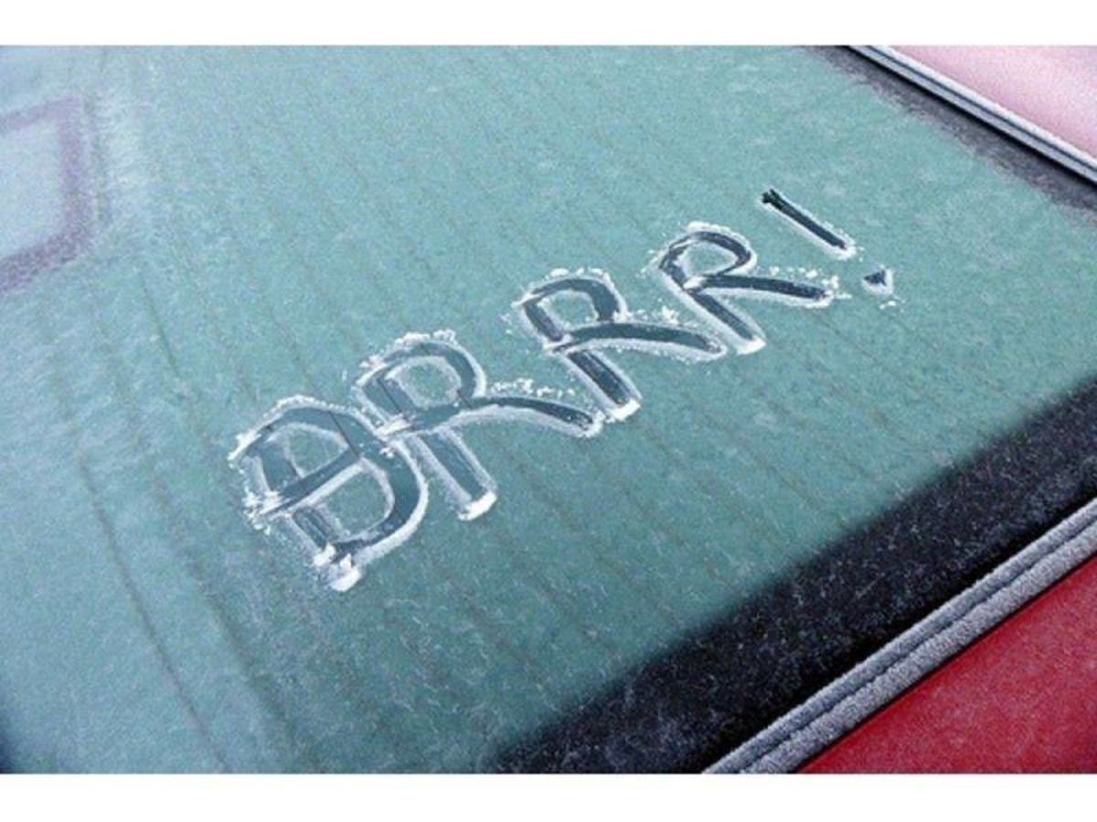
Patch file photo
Get more local news delivered straight to your inbox. Sign up for free Patch newsletters and alerts.