Weather
MD Weather: 'Bundle Up' For Wind Chills, Polar Air Next Week
Wind chills in the teens will freeze Maryland this weekend. The National Weather Service says bundle up; polar air will move in next week.

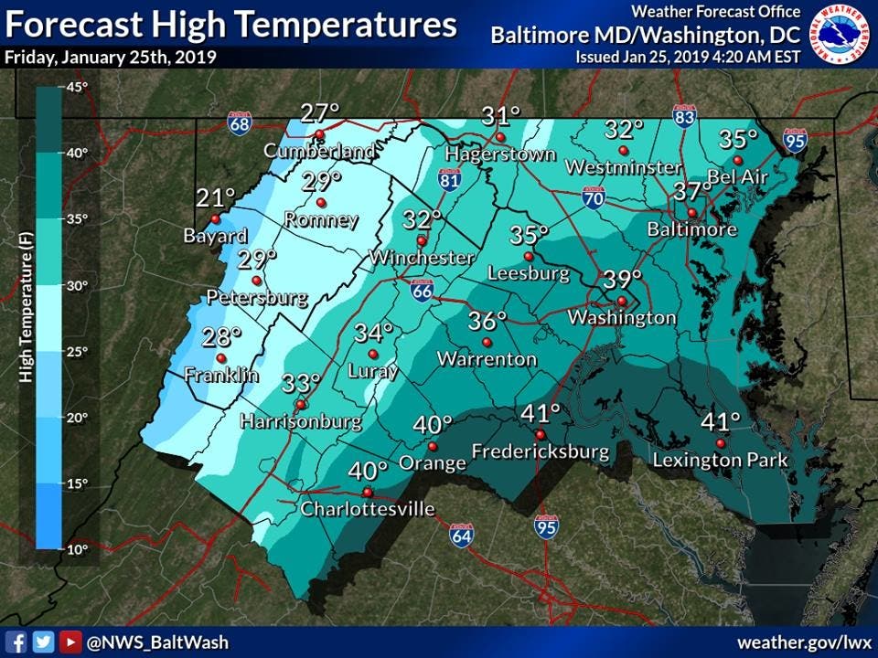
BALTIMORE, MD — After a mild Thursday, normal winter weather has returned to Maryland for the weekend, while early forecasts say a mass of polar air will hit the Mid-Atlantic region by the middle of next week. The National Weather Service says that gusty winds Friday through Sunday will bring wind chills that make it feel like the temperature is in the teens.
"A mix of clouds and sun today as temperatures run around 5 degrees below normal for late January," the weather service says. "However, with gusty west to northwest winds, it will feel like the teens and 20s for much of the day. If spending time outdoors today, be sure to dress in layers and bundle up."
Friday will bring scattered sprinkles and flurries in the afternoon with a seasonable high near 37 degrees, while Saturday will be partly sunny with highs in the upper 30s, according to the weather service. Sunday warms into the mid 40s, but also carries a chance of rain.
Find out what's happening in Annapolisfor free with the latest updates from Patch.
Chuck Bell at NBC 4 in Washington, D.C., says that a big change in the weather will arrive by Tuesday or Wednesday as a polar air plunges south. "The polar front is due to arrive Tuesday night so that rain could end as a period of snow as temperatures fall into the teens by Wednesday morning. Still way too early to know how much snow might fall but, as of now, it doesn't look like much."
Here's a closer look at what to expect from the weather this weekend, courtesy of the National Weather Service.
Find out what's happening in Annapolisfor free with the latest updates from Patch.
Friday: Scattered sprinkles and flurries between 1pm and 4pm. Partly sunny, with a high near 37. West wind 10 to 15 mph, with gusts as high as 28 mph.
Friday Night: Increasing clouds, with a low around 20. Northwest wind 5 to 9 mph becoming light.
Saturday: Partly sunny, with a high near 36. South wind 3 to 7 mph.
Saturday Night: Partly cloudy, with a low around 28. Southeast wind 5 to 7 mph becoming light and variable.
Sunday: A slight chance of showers after 1pm. Partly sunny, with a high near 45. Southwest wind 3 to 7 mph. Chance of precipitation is 20%.
Sunday Night: Mostly cloudy, with a low around 29.
Monday: Mostly sunny, with a high near 41.
Monday Night: A chance of rain and snow. Mostly cloudy, with a low around 32. Chance of precipitation is 30%.
Tuesday: Rain likely. Mostly cloudy, with a high near 46. Chance of precipitation is 60%.
Tuesday Night: Snow likely. Mostly cloudy, with a low around 18. Chance of precipitation is 60%.
Wednesday: Mostly sunny, with a high near 25.
Wednesday Night: Partly cloudy, with a low around 13.
Thursday: Mostly sunny, with a high near 27.
(For more news like this, find your local Patch here. If you have an iPhone, click here to get the free Patch iPhone app; download the free Patch Android app here. And like Patch on Facebook!)
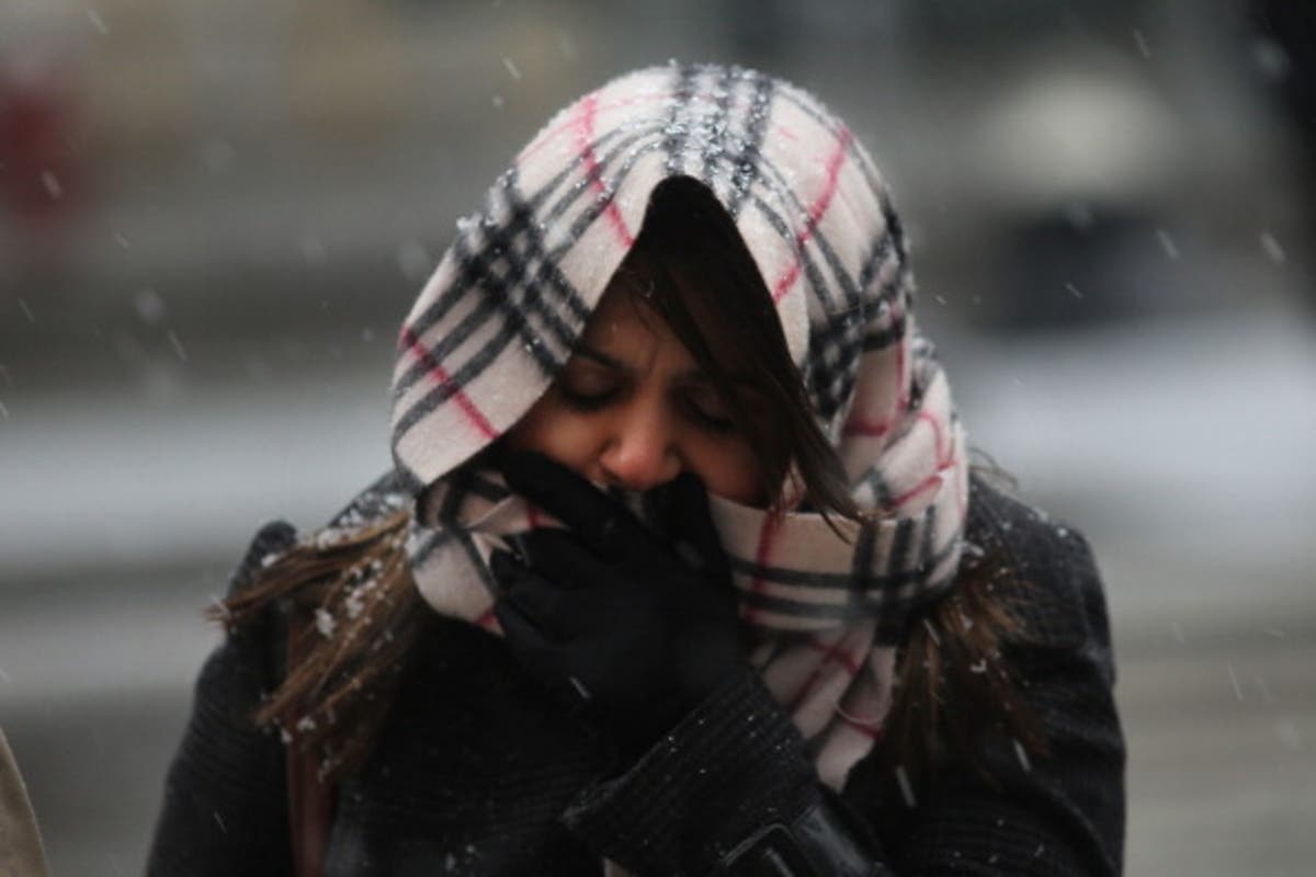
LEAD PHOTO: A woman walks through wind, snow and sleet in Manhattan. (Photo by Spencer Platt/Getty Images)
Get more local news delivered straight to your inbox. Sign up for free Patch newsletters and alerts.