Weather
MD Weather: Ice, Arctic Air Could Make Friday Drive Home Messy
Rain followed by bitter cold could make roads in parts of Maryland icy Friday afternoon and evening, according to the NWS weather forecast.

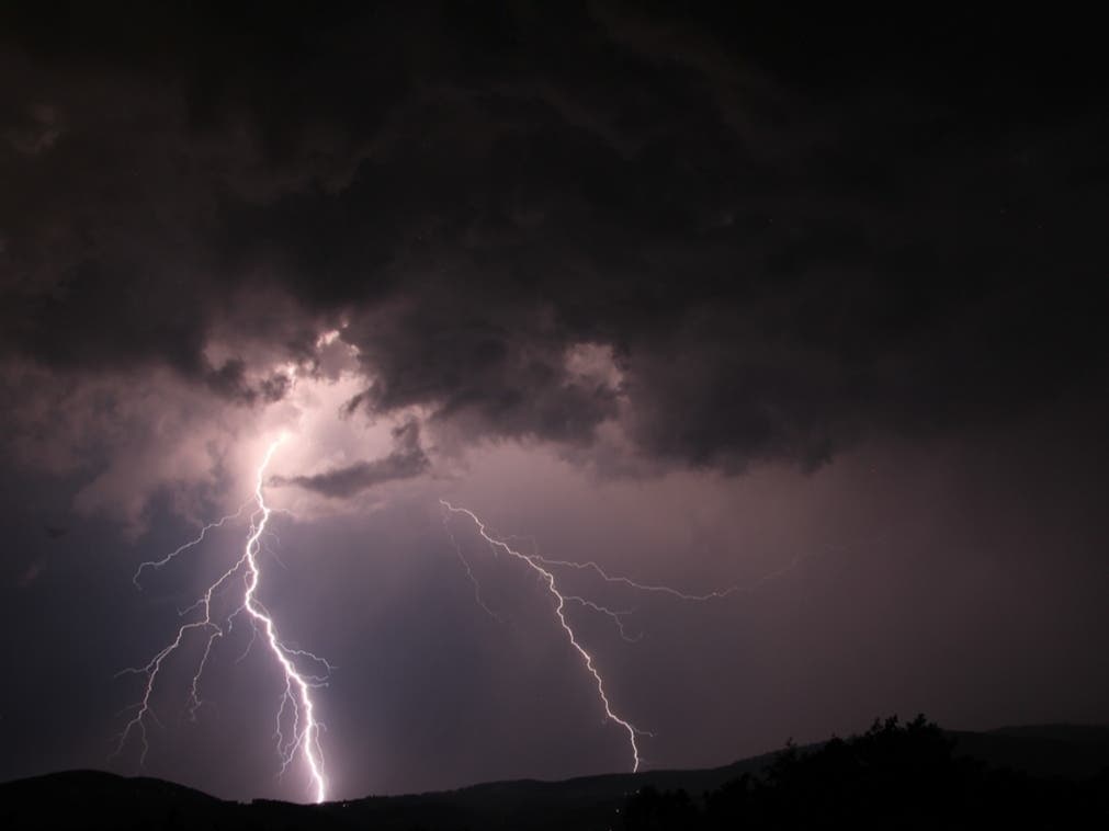
MARYLAND — Forecasters are calling for rain throughout most of Thursday in Maryland, followed by a wintry mix of ice and re-freezing precipitation that could make roads slick in some parts of the state Friday evening.
Colder air is expected to begin moving into the area late Friday morning, causing the rain to change to freezing rain or sleet around 1 p.m. in areas around Baltimore and into western Maryland, according to the National Weather Service.
"Conditions will turn much colder tomorrow night, with refreeze potentially becoming an issue everywhere," the NWS said Thursday.
Find out what's happening in Annapolisfor free with the latest updates from Patch.
Before the cold air moves in, areas of moderate to heavy rain will bring about an inch of precipitation to parts of Maryland.
After 4 p.m. Friday, a mix of freezing rain and sleet could be in the area as temperatures drop into the upper 20s.
Find out what's happening in Annapolisfor free with the latest updates from Patch.
The precipitation is forecast to end Friday evening as the cold air moves in. Icy patches could create slick roads and sidewalks Saturday. Saturday will be sunny but cold, with temperatures in the 20s to low 30s and daytime wind chills around 15 to 20, NBC4 meteorologist Chuck Bell reported.
A winter weather advisory has been issued for portions of northern Maryland and eastern West Virginia from 5 a.m. to 4 p.m. on Friday. The Frederick area, along with Carroll, Baltimore and Harford counties are included in the advisory.
A hazardous weather outlook statement from the weather service for Thursday night through Friday includes Frederick, Carroll, Baltimore, Montgomery, Howard and Harford areas, where light icing is expected.
A flood watch is in effect late Thursday into early Friday along the Allegany Front, where rain and snow melt may cause flooding, the National Weather Service said.

Here's the NWS forecast for Maryland:
Thursday: Rain. High near 48. Southeast wind 5 to 8 mph. Chance of precipitation is 90%. New precipitation amounts between a quarter and half of an inch possible.
Thursday Night: Rain. Low around 37. South wind 10 to 15 mph becoming southwest after midnight. Winds could gust as high as 28 mph. Chance of precipitation is 100%. New precipitation amounts between a half and three quarters of an inch possible.
Friday: Rain before 1pm, then a chance of rain, freezing rain, and sleet between 1pm and 4pm, then a chance of freezing rain and sleet after 4pm. Temperature falling to around 30 by 4pm. Northwest wind 14 to 16 mph, with gusts as high as 24 mph. Chance of precipitation is 100%. Little or no ice accumulation expected. Little or no sleet accumulation expected.
Friday Night: Mostly cloudy, with a low around 18. Northwest wind 15 to 18 mph, with gusts as high as 28 mph.
Saturday: Sunny, with a high near 28. Blustery, with a northwest wind 15 to 20 mph, with gusts as high as 30 mph.
Saturday Night: Mostly clear, with a low around 16.
Sunday: Sunny, with a high near 34.
Sunday Night: Mostly clear, with a low around 21.
Monday: Mostly sunny, with a high near 41.
Monday Night: Partly cloudy, with a low around 25.
Tuesday: Sunny, with a high near 41.
Tuesday Night: Partly cloudy, with a low around 24.
Wednesday: Sunny, with a high near 43.
Get more local news delivered straight to your inbox. Sign up for free Patch newsletters and alerts.