Home & Garden
Severe Thunderstorms to Rumble Wednesday Afternoon
National Weather Service warns that Maryland could see severe weather threats beginning Wednesday afternoon.

The National Weather Service warns that much of Maryland could be in for some severe weather -- including high winds and severe thunderstorms -- Wednesday afternoon beginning at about 3 p.m.
NBC-4 Meteorologist Lauryn Ricketts said Wednesday morning on Facebook that she is predicting the worst of the bad weather to hit Wednesday afternoon between 3-6 p.m., which could play havoc with the evening commute traffic.
Counties included in the warning are: Carroll, Baltimore, Montgomery, Howard and Harford.
Find out what's happening in Annapolisfor free with the latest updates from Patch.
Warmer air from the south is destabilizing the atmosphere, the Capital Weather Gang notes; they tweeted out this map Wednesday: “Winds a mile up blowing at hurricane force, drawing tropical air N. Fuel for storms later.”
Find out what's happening in Annapolisfor free with the latest updates from Patch.
The National Weather Service forecast for Wednesday afternoon in Maryland says to expect:
- Before 1 p.m.: Rain
- 1-4 p.m.: Showers
- After 4 p.m.: Possible thunderstorm
Some of the storms could be severe and produce heavy rainfall, according to the weather service forecast. Temperatures are expected to reach near 63. Winds are expected to be breezy, with a southeast wind 9 to 14 mph increasing to 16 to 21 mph in the afternoon. Winds could gust as high as 30 mph.
Chance of precipitation is 100 percent. New rainfall amounts between a half and three quarters of an inch are possible Wednesday, according to the weather service.
Wednesday night, expect showers and possibly a thunderstorm before 10 p.m., then scattered showers between 10 p.m. and 1 a.m. Some of the storms could be severe and produce heavy rainfall. Expect low temperatures Wednesday night into Thursday morning around 44 degrees. Wind gusts could again hit about 31 MPH and the area could see another quarter to a half-inch of rain.
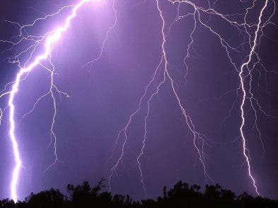
PHOTO of lightning courtesy of NWS
Get more local news delivered straight to your inbox. Sign up for free Patch newsletters and alerts.