Weather
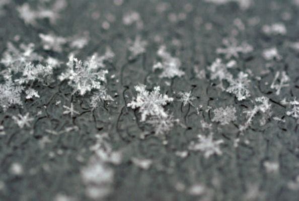
Two Chances for Snow This Week in Maryland
Maryland could see snow as early as Thursday night, says the National Weather Service, while a second chance comes over the weekend.

Will Maryland see its first snow of the 2017 winter season this week? Forecasters agree that a mass of cold air will hit the area beginning Wednesday night and continuing through Monday with the coldest day Sunday. Highs on Sunday are only expected to reach freezing.
Two chances for snow this week
But the chances for snow? There are two chances this week. The first is about a 60 percent chance of snow hitting Maryland sometime between Thursday night and Friday morning, according to National Weather Service meteorologist Dan Hofmann.
Find out what's happening in Annapolisfor free with the latest updates from Patch.
Hofmann, who works from the NWS Baltimore-Washington office in Sterling, said Tuesday morning that if the region sees snow Thursday night into Friday morning, it could be up to 1 inch but more of a fast-moving "clipper." With freezing temperatures predicted, the snow could stick not roadways, he said.
The second chance for snow, he said, is coming Saturday night into Sunday morning, but the chances are slim at this point, only 30 percent at most. He said that the weekend system will bring more snow, but likely to the south of the region.
Find out what's happening in Annapolisfor free with the latest updates from Patch.
Here's what some forecasters are saying:
- Capital Weather Gang says: "It’s sufficiently cold for snow Thursday to Sunday, and some flakes are likely. But it’s still a tough call as to whether meaningful amounts materialize."
- On New Year's Eve, NBC-4's Doug Kammerer said "latest data shows its WAY South."
Here's a look at those cold temperatures headed to Maryland this week (with the coldest day predicted to be Sunday), after a warmup predicted for Wednesday with highs in the 50s:
- Wednesday: Patchy fog before 10 am. Otherwise, partly sunny, with a high near 54.
- Wednesday night: Partly cloudy, with a low around 30. West wind 10 to 16 mph, with gusts as high as 29 mph.
- Thursday: Mostly cloudy, with a high near 36. West wind 8 to 11 mph.
- Thursday Night: Snow likely, mainly before 1am. Mostly cloudy, with a low around 30. Chance of precipitation is 60%.
- Friday: Partly sunny, with a high near 34.
- Friday night: Partly cloudy, with a low around 21.
- Saturday: Partly sunny, with a high near 30.
- Saturday night: Mostly clear, with a low around 20.
- Sunday: Sunny, with a high near 30.
- Sunday night: Mostly clear, with a low around 19.
The National Weather Service also recently noted that it will try to give more warning about coming snowfall this year, so that people don't get stuck on the roads:
"Small amounts of winter precipitation falling on sub-freezing road surfaces during rush-hours can produce very long, stressful commutes (e.g., January 20, 2016 evening rush-hour). Frequently, these are the most challenging types of events for our forecasters to predict. In response to this challenge, our office will issue statements about a day in advance to make people aware of the potential for winter weather events that could adversely impact commuting."
PHOTO: Shutterstock
Get more local news delivered straight to your inbox. Sign up for free Patch newsletters and alerts.