Weather
These Parts Of Maryland Are Under Flood Warnings Thursday: National Weather Service
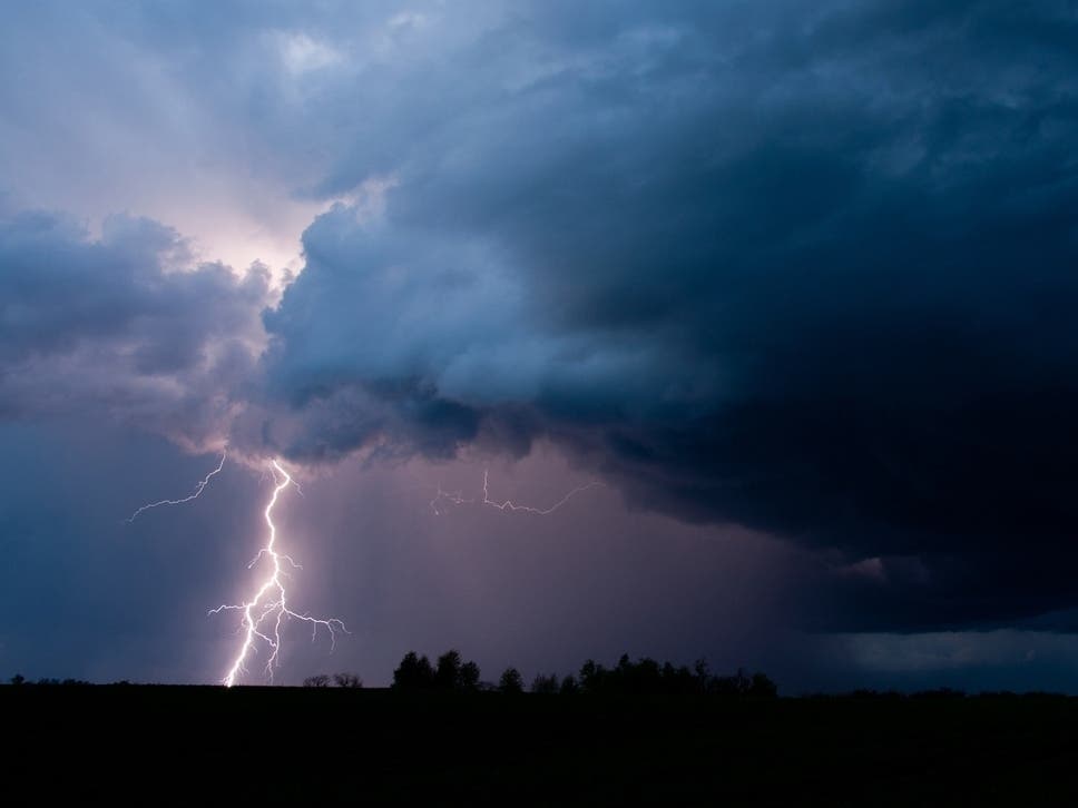
Multiple weather alerts have been posted in Maryland after inches of rain fell Thursday morning.

MARYLAND — A flood warning has been extended for parts of Maryland Thursday after inches of rain fell by midday.
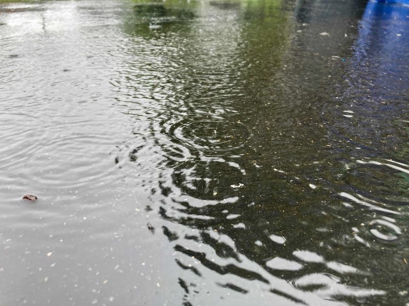
Radar showed 1.5 to 3.5 inches of rain had fallen by 1:15 p.m., according to the National Weather Service.
"Excess runoff will continue to cause creeks and streams to rise out of their banks," officials warned.
Find out what's happening in Baltimorefor free with the latest updates from Patch.
These areas are under a flood warning until 5 p.m. (It had been set to expire at 2 p.m. but was extended):
- Baltimore City
- Baltimore County
- Harford County
- Howard County
These locations may flood, officials warn: Baltimore, Columbia, Pikesville, Middle River, Cockeysville, Elkridge, Aberdeen, Havre de Grace, Aberdeen Proving Ground, Back River, Sparrows Point, Millers Island, North Point State Park, Historic Ellicott City, Glen Burnie, Ellicott City, Dundalk, Towson, Bel Air South and Catonsville.
Find out what's happening in Baltimorefor free with the latest updates from Patch.
The rain accompanies a slow-moving cold front pushing through the Eastern United States that has areas from Virginia to New York on alert about potential flooding as a result of the moisture, according to the National Weather Service.
"Turn around, don't drown when encountering flooded roads," officials said. "Most flood deaths occur in vehicles."
Seven counties in Maryland as well as Baltimore City are under the flood warning until 2 p.m.: Anne Arundel County, Baltimore City, Baltimore County, Harford County, Howard County, Montgomery County, Prince George's County and eastern Washington County.
- These locations may flood, according to the National Weather Service: Aberdeen, Annapolis, Baltimore, Bowie, Columbia, Severn, Clinton, Pikesville, College Park, Crofton, Middle River, Fort Washington, Greenbelt, Cockeysville, Beltsville, Elkridge and Havre de Grace.
The warning was extended in Howard and Montgomery counties until 2:45 p.m. after radar showed 2 to 4 inches of rain had fallen there and in Fairfax, Va., by about 8:15 a.m., according to the National Weather Service. While officials said the heaviest rain had ended, runoff will cause creeks and streams to keep rising.
Carroll and Frederick counties are under a flood warning until 4 p.m. Thursday. After 9:15 a.m., emergency officials in Frederick County reported 3 to 5 inches of rain had fallen, and many roads were closed due to high water. The Monocacy River and Big Pipe Creek were flooded, authorities said.
Cecil County is under a flood warning until 3 p.m. Thursday, after radar indicated heavy rain after 9 a.m. with between 1.5 and 3.5 inches possible.
Other Weather Alerts Issued
- Kent, Queen Anne's and Talbot counties are under a flash flood warning until 2 p.m. Thursday. Officials said 2 to 4 inches of rain fell there before 10 a.m., with another 1 to 2 inches possible.
- A flash flood watch is in effect for Harford and Cecil counties until 2 p.m. Thursday afternoon.
- A gale warning is in effect until noon for the Chesapeake Bay, Chester River, Patuxent River, Choptank River, Little Choptank River and Eastern Bay.
- A small craft advisory takes effect at noon Thursday and continues until 5 a.m. Friday for the Chesapeake Bay; Chester, Patuxent, Choptank and Little Choptank rives; and Eastern Bay.
See the latest forecast for the region from the National Weather Service.
Get more local news delivered straight to your inbox. Sign up for free Patch newsletters and alerts.