Weather
Cloud-To-Ground Lightning Accompanying Thunderstorm Monday: NWS
BREAKING: People should go inside if they hear thunder, as lightning may strike up to 10 miles away, the National Weather Service advises.


BALTIMORE, MD — Damaging winds are possible Monday afternoon and evening in the Baltimore metro area, according to the National Weather Service. A strong thunderstorm was detected at 2:07 p.m. near Baltimore and at 2:42 p.m. over Arbutus.
Frequent cloud-to-ground lightning was occurring, and could strike up to 10 miles from the area of the storm, officials said.
Locally heavy rainfall may cause small streams to overflow their banks and water to pond on the roads. Drivers should be aware of standing water and hydroplaning.
Find out what's happening in Baltimorefor free with the latest updates from Patch.
Wind gusts of 40 to 50 mph are possible with the thunderstorm, which was moving through the Baltimore metro area as temperatures were in the 90s with heat indices of 100 degrees.
Locations impacted include the following, according to the National Weather Service: Baltimore, Severn, Pikesville, Elkridge, Baltimore-Washington Airport, Jessup, Glen Burnie, Ellicott City, Ilchester, Halethorpe, Dundalk, Towson, Catonsville, Woodlawn, Randallstown, Milford Mill, Lochearn, Arbutus, Rosedale, Ferndale, Brooklyn Park, Mays Chapel and Pumphrey. The thunderstorm may affect north central Anne Arundel, northeastern Howard and southwest Baltimore counties as well as Baltimore City, weather officials reported.
Find out what's happening in Baltimorefor free with the latest updates from Patch.
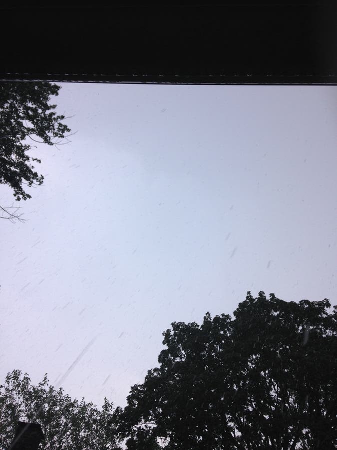
Photos by Elizabeth Janney.
Get more local news delivered straight to your inbox. Sign up for free Patch newsletters and alerts.