Weather
Flash Flood Risk Prompts Weather Alerts
Harford and Baltimore counties may experience severe weather Friday evening, officials say.

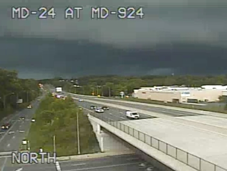

Due to heavy rain Friday night on top of already saturated conditions, Baltimore and Harford counties are on alert for flooding. By 8 p.m., the Baltimore County Fire Department reported 3 inches of rain had already fallen, and severe storms remained in the area.
A flash flood warning issued for Baltimore and Harford counties is in effect until 11:45 p.m.
Officials said a series of water rescues on area roads were reported, and stream gauges were rising.
Find out what's happening in Bel Airfor free with the latest updates from Patch.
Here are the latest warnings and watches in effect from the National Weather Service:
See Also:
Find out what's happening in Bel Airfor free with the latest updates from Patch.
- High Water Closes Parts Of US 40, Singer Road: Officials
- Water Rescues On Route 40 Complete: Baltimore County Fire
PREVIOUS REPORT (EXPIRED) — A severe thunderstorm warning is in effect for Harford and Baltimore counties until 7 p.m.
Before 6:15 p.m., radar showed a line of severe thunderstorms packing 60 mph winds from Kingsville to Carney. The storms were moving east at 20 mph.
Earlier radar detected severe thunderstorms on a line from Bel Air North to the Cockeysville area with 60 mph winds as well, weather officials reported.
During the severe thunderstorm warning period, do not drive underneath wooded areas until the threat has passed, as trees and branches may fall. Roads may become blocked by downed trees, and localized power outages are possible, according to the warning. People should go inside and move to an interior room on the lowest level.
These areas may be impacted: Cockeysville, Bel Air South, Bel Air North, Timonium, Fallston, Hampton, Kingsville, Pleasant Hills, Jarrettsville, Lutherville-Timonium, Darlington, Glen Arm, Fork, Churchville, Long Green, Forest Hill, Phoenix, Street, Jacksonville and Hickory.
Move to an interior room on the lowest floor of a building, the National Weather Service warns people in the above-mentioned areas.
A flood warning is also in effect for parts of Baltimore and Harford counties until 11:30 p.m.
Radar showed heavy rains that may cause flooding, and by 5:30 p.m., the National Weather Service reported up to an inch of rain had already fallen. Another 1 to 3 inches of rain is possible in the next before 8 p.m., authorities advised.
These areas may experience flooding, officials said: Cockeysville, Towson, Bel Air South, Parkville, Bel Air North, Carney, Perry Hall, Mays Chapel, Timonium, Fallston, Hampton, Kingsville, Pleasant Hills, Jarrettsville, Lutherville-Timonium, Lutherville, Pylesville, Darlington, Glen Arm and Fork.
This includes the following flood-prone locations, the National Weather Service stated in the flood warning:
- Stevenson Road at Jones Falls near Hillside Road
- Beaver Dam Road at Goodwin Run
- Seminary Avenue at Roland Run near Riderwood Drive
- Glen Arm Road at Gunpowder Falls near Gunpowder Road
- Long Green Pike at Long Green Creek
- York Road at Beaverdam Run near Beaver Run Lane
- Beaver Dam Road at Beaverdam Run near Cockeysville
- Phoenix Road at Gunpowder Falls near Carroll Road
- Lower Glencoe Road at Gunpowder Falls near Glencoe
- Cold Bottom Road near Buffalo Creek
- York Road North of Piney Hill Road
- Falls Road near Old Barn Road
- Big Falls Road at Little Falls near Bernoudy Road
- Wiseburg Road at Little Falls near White Hall Road
- Old York Road at Little Falls near Hyde Road
- Green Road at Little Gunpowder Falls
- Deanwood Road near Debonair Court
- Seminary Avenue at Deep Run near Mays Chapel Road
- Walters Mill Road at Ady Road
- Bel Air Road at Little Gunpowder Falls
- Shawnee Drive at Walters Mill Road
- Sandy Hook Road near Deer Creek
- Conowingo Road near Bynum Run
- Southampton Road at Bynum Run
- Moores Mill Road at Bynum Run
Turn around — don't drown — when encountering flooded roads, officials say, noting most flood deaths occur in vehicles, and it only takes inches of floodwater to sweep a vehicle away.
A flash flood watch is in effect for the region until 2 a.m. Saturday.
Get more local news delivered straight to your inbox. Sign up for free Patch newsletters and alerts.


