Weather
Flash Flood, Severe Thunderstorm Watches Issued Across MD
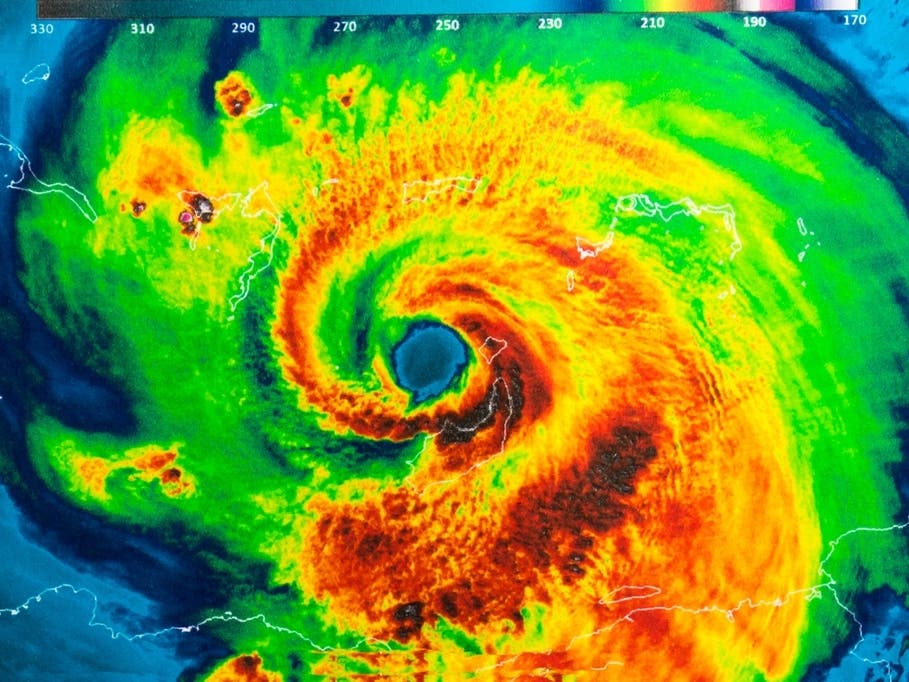
The National Weather Service has issued a flash flood watch plus severe thunderstorm watch for most of Maryland.

Much of Maryland is under a flash flood watch from 3 to 9 p.m. Monday. During the watch period, up to 3 inches of rain could fall in some areas, according to the National Weather Service.
The region is also under a severe thunderstorm watch until 11 p.m.
Forecasters expect thunderstorms to develop Monday afternoon and evening with potentially heavy rain along the Interstate 95 corridor, from Harford County to Fairfax County, Va.
Find out what's happening in Bel Airfor free with the latest updates from Patch.
Some areas could see multiple thunderstorms with 1 to 2 inches of rain possible and up to 3 inches of rain in some cases, according to the flash flood watch.
The watch from 3 to 11 p.m. applies to Allegany, Anne Arundel, Baltimore, Carroll, Frederick, Harford, Howard, Montgomery, Prince George's and Washington counties and Baltimore City. Cecil County is under a flash flood watch from 1 to 9 p.m. Monday.
Find out what's happening in Bel Airfor free with the latest updates from Patch.
Streams and creeks may rapidly rise, and heavy rain in a short period of time in urban areas could cause flash flooding, according to authorities. Flash flooding is a rapid rise in water level that can be life-threatening. People who come across flooded roads should turn around; don't drown.
Damaging wind and hail may also accompany the storms, the National Weather Service advised.
These areas are under a severe thunderstorm watch from 1:30 p.m. until 11 p.m. Monday:
- Anne Arundel County
- Baltimore City
- Baltimore County
- Calvert County
- Caroline County
- Carroll County
- Cecil County
- Charles County
- Dorchester County
- Frederick County
- Harford County
- Howard County
- Kent County
- Montgomery County
- Prince George's County
- Queen Anne's County
- Somerset County
- St. Mary's County
- Talbot County
- Wicomico County
- Worcester County
A severe thunderstorm is one with winds of at least 58 mph and/or hail at least 1 inch in diameter, according to the National Weather Service's definition.
A watch means there is potential for certain conditions to occur. Should the situation become imminent, the weather service will typically issue a warning.
Stay up to date on the latest. Get news alerts from Patch.
Get more local news delivered straight to your inbox. Sign up for free Patch newsletters and alerts.