Weather
2 Weather Watches In Effect For Baltimore-Washington Region
Severe thunderstorms and flash flooding are possible in Maryland, weather officials advise.

The National Weather Service has issued multiple watches for the Baltimore-Washington region Monday, June 19.
A severe thunderstorm watch took effect Monday afternoon and will last until 8 p.m. It calls for damaging wind gusts, isolated tornadoes and large hail.
A cold front moving through the region Monday afternoon and evening may also be accompanied by "intense rainfall rates in a short period of time," according to the National Weather Service. SIGN UP: Get Patch’s daily newsletter and real-time news alerts, or like us on Facebook. Or, if you have an iPhone, download the free Patch app.
Find out what's happening in Bel Airfor free with the latest updates from Patch.
Weather officials say 1 to 2 inches of rain may fall, with 3 to 4 inches possible in some places.
As a result, a flash flood watch — meaning conditions leading to flash flooding could develop — is in effect from 3 to 9 p.m. on Monday.
Creeks, streams and roads may experience flash flooding Monday afternoon and evening, authorities say, with urban areas and those that have poor drainage particularly prone.
Find out what's happening in Bel Airfor free with the latest updates from Patch.
The severe thunderstorm watch includes Anne Arundel, Baltimore, Calvert, Carroll, Charles, Frederick, Harford, Howard, Montgomery, Prince George's, St. Mary's and Washington counties plus Baltimore City.
The flash flood watch includes the following areas: Anne Arundel, Baltimore, Carroll, Cecil, Harford, Howard, Montgomery and Prince George's counties as well as the District of Columbia and northern Virginia.
EXPIRED — A severe thunderstorm warning is in effect until 4:45 p.m. for Anne Arundel and Howard counties as well as Baltimore City.
Radar indicated a severe thunderstorm was located in the Severna Park/Crofton area at 4:20 p.m., and it was moving northeast at 50 mph, according to the National Weather Service.
There are 60 mph wind gusts associated with the severe thunderstorm, according to the warning. Tree limbs and branches may fall, causing the potential for power outages and blocked roadways. Unsecured objects may be flung about. People should move inside in an interior room on the lowest floor if there are trees outside, and drivers should not pass under wooded areas until the threat has passed. There is also hail smaller than 0.75 inch.
Locations impacted include Baltimore, Severn, Annapolis, Crofton, Riviera Beach, Mayo, the Naval
Academy, BWI, the Severn River, Fort Smallwood State Park, Pinehurst, Gibson Island, Bodkin Point, Sillery Bay, Glen Burnie, Severna Park, Odenton, Pasadena, Arnold and Lake Shore.
Thanks to Haiti Pierre for pic of what looks like a funnel cloud over Crain Highway in Glen Burnie around 4:30pm. Update at 5pm on @wbaltv11 pic.twitter.com/dOl0JpkqDq
— Tom Tasselmyer (@ttasselWBAL) June 19, 2017
The National Weather Service also issued a severe thunderstorm warning for northeastern Cecil County after a severe thunderstorm was found by radar 7 miles northwest of Elkton at 4:07 p.m.; it was moving east at 50 mph and was accompanied by 60 mph wind gusts.
Strong thunderstorms were also headed for southeastern Cecil County, with torrential rainfall and frequent cloud-to-ground lightning coming from the Annapolis area, according to the National Weather Service, which issued a special weather statement. People who hear thunder should go indoors, as lightning may strike from 10 miles away, according to the weather statement.
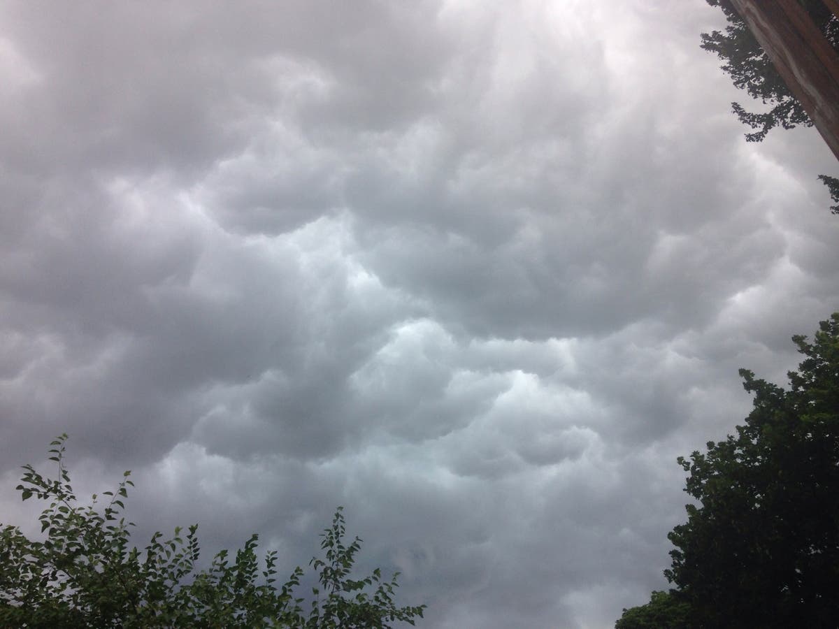
Photo of Baltimore storm clouds on June 19 by Elizabeth Janney.
Get more local news delivered straight to your inbox. Sign up for free Patch newsletters and alerts.