Weather
Flood Watch Calls For Caution After Inches Of Rain
BREAKING: The National Weather Service has issued a flood watch for much of Maryland, and a flood advisory for part of the state as well.

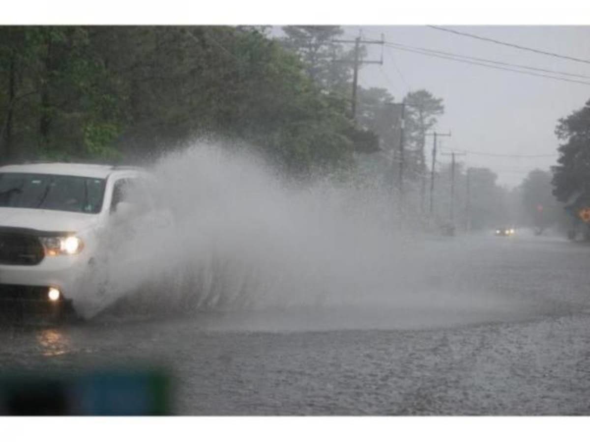
A flood watch is in effect until midnight for parts of Maryland. The National Weather Service issued the watch to caution people that there may be high water and flooding around streams, rivers and low-lying areas.
Already, 2 to 3 inches of rain have been reported, with up to 5 inches in some areas, authorities said Sunday afternoon. More rainfall of up to 1 inch may fall through Sunday evening in a slow-moving front. Weather officials forecast several rounds of moderate to heavy rainfall Sunday afternoon through Sunday evening.
Included in the flood watch are Anne Arundel, Baltimore (northern and southern), Cecil, Charles, Harford (northwest, southeast), Howard (central and southeast), Kent, Montgomery (northwest and southeast), Prince George's and Queen Anne's counties plus the District of Columbia and parts of Virginia.
Find out what's happening in Havre de Gracefor free with the latest updates from Patch.
A flood watch means that there is potential for flooding based on the forecast. People in the flood watch areas should be prepared for possible flooding.
There is a flood advisory in effect until 7 p.m. on Sunday for parts of northeast Maryland. According to weather officials, some locations that could experience flooding during the flood advisory include Elkton, Havre de Grace, North East, Rising Sun, Charlestown and Cecilton as well as parts of Delaware.
Find out what's happening in Havre de Gracefor free with the latest updates from Patch.
Though the rain has stopped in these areas, officials say rain gauges have indicated 2 to 5 inches of precipitation has fallen and areas slow to drain may flood.
Image via Shutterstock.
Get more local news delivered straight to your inbox. Sign up for free Patch newsletters and alerts.