Weather
Freezing Rain Likely: MD Winter Weather Advisory Extended
Breaking: The winter weather advisory for Maryland has been extended with freezing rain likely, says the National Weather Service.

BALTIMORE, MD — With schools in much of Maryland either closed or operating under a late start after a slick morning commute, the National Weather Service has extended a winter weather advisory until 1 p.m. Wednesday. Small amounts of snow and ice accumulated early in the morning, but forecasters are now calling for freezing rain along the I-95 corridor. With temperatures hovering right around 32 degrees, slick spots remain on the roads.
The precipitation is likely to cover portions of The District of Columbia, central and northern Maryland and central and northern Virginia. The ice will result in difficult travel conditions, says the weather service, and drivers should be prepared for reduced visibilities at times.
Maryland counties included in the weather advisory are: Baltimore, Prince George's, Anne Arundel, Montgomery, Howard and Harford.
Find out what's happening in Silver Springfor free with the latest updates from Patch.
The expected wintry mix will result in dicey travel conditions, and officials warn drivers to be prepared for reduced visibility at times, along with slick roads.
The Maryland Department of Transportation State Highway Administration pretreated roads with salt brine in advance of the overnight mix of snow, sleet and freezing rain.
Find out what's happening in Silver Springfor free with the latest updates from Patch.
“Storms that hit during morning or afternoon rush hours pose challenges for crews as they get stuck in traffic, which hampers operations,” said MDOT SHA Administrator Greg Slater in a news release. “Adding an ice component to the scenario makes driving dangerous, so we are urging commuters to monitor weather conditions closely and make safe travel decisions.”
Those who must travel in the morning should allow extra time, slow speeds and be extra cautious on elevated roadways (bridges, ramps and overpasses).
Here's the latest forecast from the National Weather Service:
Wednesday: Rain or freezing rain, becoming all rain after 11am. High near 40. East wind 6 to 11 mph becoming southwest in the afternoon. Chance of precipitation is 100%. Total daytime ice accumulation of less than a 0.1 of an inch possible.
Wednesday Night: Cloudy, then gradually becoming partly cloudy, with a low around 26. Blustery, with a northwest wind 17 to 25 mph, with gusts as high as 40 mph.
Thursday: Sunny, with a high near 35. Northwest wind 9 to 13 mph, with gusts as high as 20 mph.
Thursday Night: Partly cloudy, with a low around 25. Calm wind becoming south around 5 mph after midnight.
Friday: Mostly cloudy, with a high near 45. South wind 3 to 8 mph.
Friday Night: Mostly cloudy, with a low around 33.
Saturday: Rain likely. Cloudy, with a high near 49. Chance of precipitation is 70%.
Saturday Night: Rain. Low around 42. Chance of precipitation is 90%.
Sunday: Showers likely. Cloudy, with a high near 56. Chance of precipitation is 70%.
Sunday Night: A chance of showers. Mostly cloudy, with a low around 34. Chance of precipitation is 30%.
Monday: Mostly sunny, with a high near 44.
Monday Night: Partly cloudy, with a low around 31.
Tuesday: A chance of rain and snow. Partly sunny, with a high near 48. Chance of precipitation is 30%.
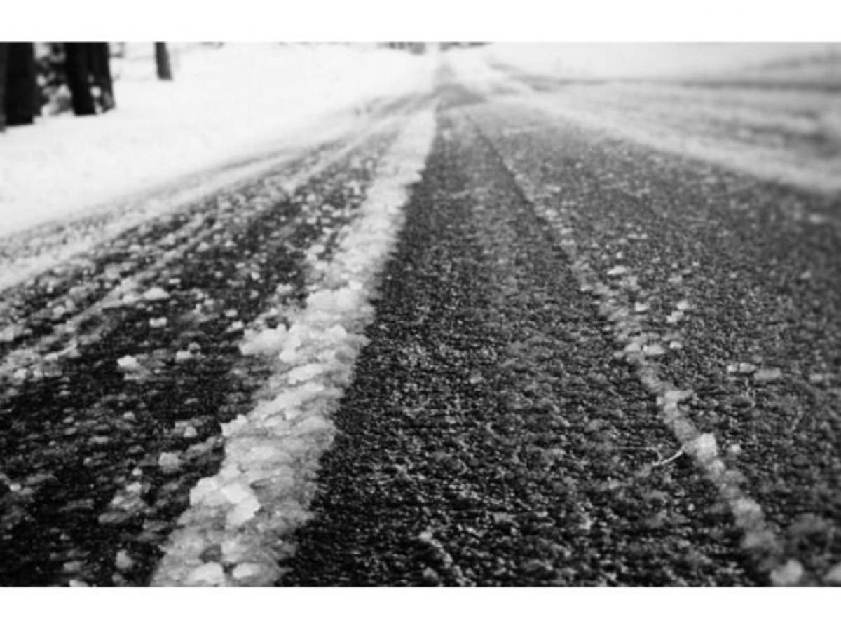
Image via Shutterstock
Get more local news delivered straight to your inbox. Sign up for free Patch newsletters and alerts.