Weather
MA Snow: Winter Takes One Last Slap At The Region
Massachusetts was hit with a little spring snowstorm. The Worcester area and the western part of the state were hit the hardest.

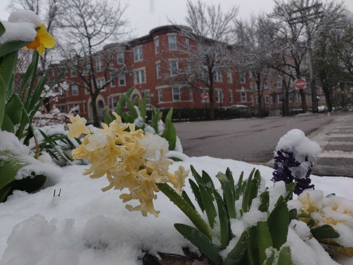
BOSTON — It's been spring for almost a month, but that didn't stop winter from coming back for a little April snowstorm in Massachusetts Saturday.
Snow started falling Friday night and is expected to last until around noon. It may turn to rain before that, according to the National Weather Service.
The town with the highest recorded snowfall in the state was Goshen with 6 inches. Early forecasts also had the Worcester area with up to 6 inches of snow, but as of Saturday morning, the city and its surroundings towns had about 4 inches of snow. Grafton had the most in the region with 4.5 inches.
Find out what's happening in Bostonfor free with the latest updates from Patch.
[Snow Totals] Snow is still ongoing across some of the region this morning, but here is a look at what has fallen, based on reports we've received through 830 AM. Explore the map or reports for yourself here: https://t.co/hM8SZcj40u pic.twitter.com/Jw7Dyq0uVE
— NWS Boston (@NWSBoston) April 18, 2020
Boston-area forecast via NWS
Today - Rain likely before noon, then showers likely, mainly between noon and 5 p.m. Patchy fog between 11 a.m. and 2 p.m. Otherwise, cloudy, with a high near 41 degrees.
Tonight - Cloudy during the evening with a low around 35 degrees.
Find out what's happening in Bostonfor free with the latest updates from Patch.
Sunday - Sunny, with a high near 60 degrees. Southwest wind 5 to 10 mph increasing to 11 to 16 mph in the afternoon. Winds could gust as high as 23 mph.
Sunday night - A slight chance of showers between 11 p.m. and 1 a.m. Mostly cloudy, with a low around 46. Southwest wind 7 to 13 mph. Chance of precipitation is 20 percent.
Monday - A chance of rain between 7am and 1pm. Mostly cloudy, with a high near 54. Northwest wind around 7 mph becoming northeast in the afternoon. Chance of precipitation is 30 percent.
Monday Night - Partly cloudy, with a low around 36. Northeast wind around 5 mph becoming calm in the evening.
Tuesday - A chance of showers after 3 p.m. Mostly sunny, with a high near 59. South wind 6 to 11 mph, with gusts as high as 21 mph. Chance of precipitation is 30 percent.
Tuesday Night - Showers likely, mainly before 9 p.m. Partly cloudy, with a low around 36. West wind around 10 mph, with gusts as high as 21 mph. Chance of precipitation is 60 percent.
Wednesday - Sunny, with a high near 50. West wind around 11 mph, with gusts as high as 22 mph.
Wednesday Night - Partly cloudy, with a low around 36. West wind 5 to 8 mph.
Thursday- A chance of showers. Mostly sunny, with a high near 57. Southwest wind around 6 mph. Chance of precipitation is 40 percent.
Get more local news delivered straight to your inbox. Sign up for free Patch newsletters and alerts.


