Weather
MA Weather: Beyond The Snow And Cold, A Reason For Optimism
There's reason to believe Tuesday's dreadful weather could be rock bottom. Which means nowhere to go but up - and the forecast agrees.

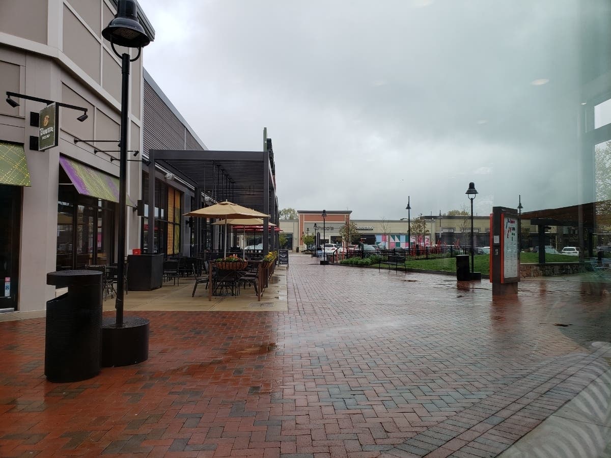
Hopefully, this is what rock bottom looks like. The dreadful weather punched us in the mouth again Tuesday, this time with what forecasters said could be record-low high temperatures and - yes - snow.
The snowfall was mercifully contained to Western Mass., in towns like Rowe and East Hawley. Rowe, which sits at high elevation, saw 1.6 inches as of 7:30 a.m. Again, it's May 14.
The temperatures today aren't expected to get much higher. This afternoon's high temperature in the Boston area may climb to 44 degrees - that's 3 degrees less than May 14's previous coldest high temperature, which was set in 1931.
Find out what's happening in Bostonfor free with the latest updates from Patch.
Fortunately, there is reason to think this is as bad as it will get. According to The Weather Channel, temperatures could reach 60 degrees during a dry Wednesday, and while showers may return later in the week, temperatures are expected to get to the mid-60s.
Then, finally, actual spring weather. Saturday and Sunday will have some clouds, but likely no rain, and temperatures will stretch into the 70s.
Find out what's happening in Bostonfor free with the latest updates from Patch.
Wednesday - Mostly cloudy, with a high near 58. Northwest wind 8 to 13 mph.
Wednesday night - A chance of showers, mainly after 1am. Patchy fog after 4am. Otherwise, mostly cloudy, with a low around 45. Light and variable wind. Chance of precipitation is 30%.
Thursday - A chance of showers. Patchy fog before 8am. Otherwise, mostly cloudy, with a high near 62. Light and variable wind. Chance of precipitation is 40%.
Thursday night - Patchy fog after 2am. Otherwise, mostly cloudy, with a low around 45. Calm wind.
Friday - A chance of showers between 1pm and 5pm. Patchy fog before 8am. Otherwise, partly sunny, with a high near 64. Light southwest wind. Chance of precipitation is 30%.
Friday night - Patchy fog after 2am. Otherwise, mostly cloudy, with a low around 48. Light and variable wind.
Saturday - Patchy fog before 7am. Otherwise, mostly sunny, with a high near 68. Light northwest wind.
Saturday night - Partly cloudy, with a low around 50. South wind around 5 mph becoming light and variable after midnight.
Sunday - Partly sunny, with a high near 73. Southwest wind 3 to 5 mph.
Sunday night - A chance of showers. Mostly cloudy, with a low around 53. Southwest wind 3 to 6 mph. Chance of precipitation is 30%.
Monday - A chance of showers. Partly sunny, with a high near 71. South wind around 6 mph. Chance of precipitation is 30%.
Get more local news delivered straight to your inbox. Sign up for free Patch newsletters and alerts.


