Weather
MA Weather: Hurricane Michael Potential Impact Detailed
What is expected to become a Category 3 hurricane will make for a rough Thursday in Massachusetts.

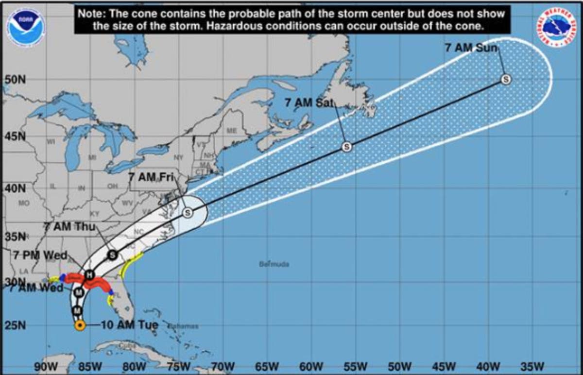
As Hurricane Michael bears down on the Gulf Coast, what it has in store for Southern New England is becoming clearer. Michael's peak winds Tuesday morning were up to 110 miles per hour, making it a Category 2 hurricane.
Michael is expected to make landfall on the Florida Panhandle Wednesday. It is forecast to become a Category 3 hurricane with winds of up to 130 mph.
The storm is still expected to drop buckets on Southern New England as it passes by. The National Weather Service said Michael is "expected to sweep [south] of New England" Friday morning, but as it accelerates out to sea, it will spur some tropical moisture into a Thursday storm.
Find out what's happening in Bostonfor free with the latest updates from Patch.
Michael is currently slated to pass south of Nantucket Thursday night. If it passes any closer to Southern New England, the risk increases for strong winds and marine impacts.
The NWS is warning of "pockets of heavy rainfall and the low risk of flash flooding."
Find out what's happening in Bostonfor free with the latest updates from Patch.
A cold front will follow, dipping weekend temperatures into the 40s and 50s.
Boston-area weather forecast
Tuesday night - Areas of fog after 2am. Otherwise, mostly cloudy, with a low around 65. Southwest wind 3 to 5 mph.
Wednesday - Areas of fog before 10am. Otherwise, mostly cloudy, then gradually becoming sunny, with a high near 79. Calm wind becoming southwest 5 to 7 mph in the morning.
Wednesday night - A chance of showers, mainly after 1am. Patchy fog after 10pm. Otherwise, mostly cloudy, with a low around 60. Southwest wind around 5 mph becoming calm in the evening. Chance of precipitation is 30%. New precipitation amounts of less than a tenth of an inch possible.
Thursday - Showers likely, then showers and possibly a thunderstorm after noon. Some of the storms could produce heavy rain. Patchy fog before 10am. High near 70. Light and variable wind becoming southeast around 5 mph in the afternoon. Chance of precipitation is 80%.
Thursday night - Showers and possibly a thunderstorm before 3am, then a chance of showers. Some of the storms could produce heavy rain. Patchy fog. Low around 55. Chance of precipitation is 80%.
Friday - A chance of showers before 8am. Patchy fog before 9am. Otherwise, partly sunny, with a high near 62. Chance of precipitation is 30%.
Friday night - Partly cloudy, with a low around 43.
Saturday - Mostly sunny, with a high near 55.
Saturday night - Mostly clear, with a low around 39.
Sunday - Mostly sunny, with a high near 59.
Sunday night - A chance of showers. Mostly cloudy, with a low around 47. Chance of precipitation is 30%.
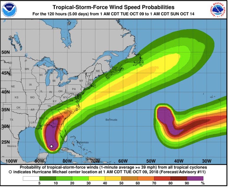
National Hurricane Center image
Get more local news delivered straight to your inbox. Sign up for free Patch newsletters and alerts.


