Weather
MA Weather: More Storms Heading Our Way
A hazardous weather outlook has returned as a muggy Friday may give way to more strong thunderstorms.

This week has seen everything from tornadoes in Central Massachusetts to quick, violent downpours popping up all around Eastern Massachusetts. The risk of severe weather isn't letting up Friday or Saturday, despite that sunshine out there. A hazardous weather outlook has been issued for the Bay State as more strong-to-severe thunderstorms make their way east.
The storms will weaken as they move past I-495, and Western Mass. will take the worst of it. By the time the storms hit the Boston area, they are expected to be past their peak, and some parts of the region will even stay dry. The National Weather Service has between a 20-40 percent of showers and storms making it that far.
"A few storms could become severe, producing damaging wind gusts," the NWS said. "Torrential downpours will also accompany any storms."
Find out what's happening in Bostonfor free with the latest updates from Patch.
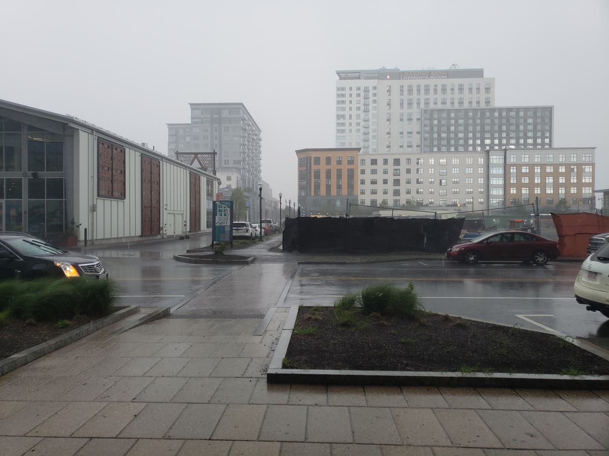
-1532700067-5970.jpg)
Plymouth and Bristol counties and the Cape may be far enough from seeing anything too dangerous.
"A few strong thunderstorms are possible this afternoon and evening, mainly west of a line from Boston to Providence," the NWS said.
Find out what's happening in Bostonfor free with the latest updates from Patch.
Forecasters also said a few strong thunderstorms could pop up Saturday as well, with a chance of precipitation around 30 percent.

Upcoming forecast:
Friday afternoon - A slight chance of showers after 2pm. Mostly sunny, with a high near 89. South wind around 7 mph. Chance of precipitation is 20%.
Friday evening - A slight chance of showers, then a chance of showers and thunderstorms after midnight. Patchy fog after 4am. Otherwise, mostly cloudy, with a low around 69. South wind 3 to 5 mph. Chance of precipitation is 40%. New rainfall amounts of less than a tenth of an inch, except higher amounts possible in thunderstorms.
Saturday afternoon - A chance of showers and thunderstorms. Mostly cloudy, with a high near 85. Calm wind becoming southwest around 6 mph in the afternoon. Chance of precipitation is 30%. New precipitation amounts of less than a tenth of an inch, except higher amounts possible in thunderstorms.
Saturday evening - Partly cloudy, with a low around 65. Southwest wind around 6 mph becoming west after midnight.
Sunday - Sunny, with a high near 86. West wind around 5 mph.
Sunday evening - Partly cloudy, with a low around 63.
Photo by Mike Carraggi, Patch
NWS Boston
Get more local news delivered straight to your inbox. Sign up for free Patch newsletters and alerts.


