Community Corner
Blizzard Warning for Lexington
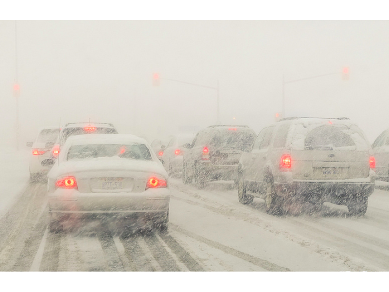
The National Weather Service issued an alert Friday; 8-12 inches of snow is now expected.

The National Weather Service issued a blizzard warning for Lexington from Saturday at noon through Monday at 7 a.m.
Eight to 12 inches of snow is expected to accumulate during that time.
Here more from NWS:
Find out what's happening in Lexingtonfor free with the latest updates from Patch.
- A BLIZZARD WARNING IS IN EFFECT FROM NOON SATURDAY TO 7 AM EST MONDAY... THE NATIONAL WEATHER SERVICE IN GRAY HAS ISSUED A BLIZZARD WARNING...WHICH IS IN EFFECT FROM NOON SATURDAY TO 7 AM EST MONDAY. THE WINTER STORM WATCH IS NO LONGER IN EFFECT.
- ACCUMULATIONS...SNOW ACCUMULATION OF 8 TO 12 INCHES.
- TIMING...SNOW BEGINS DURING THE DAY SATURDAY AND INCREASES IN INTENSITY SATURDAY NIGHT. SNOW COMES TO AN END LATE SUNDAY BUT BLOWING SNOW CONTINUES INTO SUNDAY NIGHT.
- IMPACTS...HEAVY SNOW AND BLOWING SNOW COULD LEAD TO BLIZZARD CONDITIONS AT TIMES. DRIVING WILL BE DANGEROUS OR IMPOSSIBLE WITH SNOW COVERED ROADS AND LOW VISIBILITY.
- WINDS...NORTHWEST 20 TO 30 MPH WITH GUSTS UP TO 40 MPH.
- VISIBILITIES...NEAR ZERO AT TIMES.
- TEMPERATURES...IN THE SINGLE DIGITS AND TEENS.
Get more local news delivered straight to your inbox. Sign up for free Patch newsletters and alerts.