Community Corner
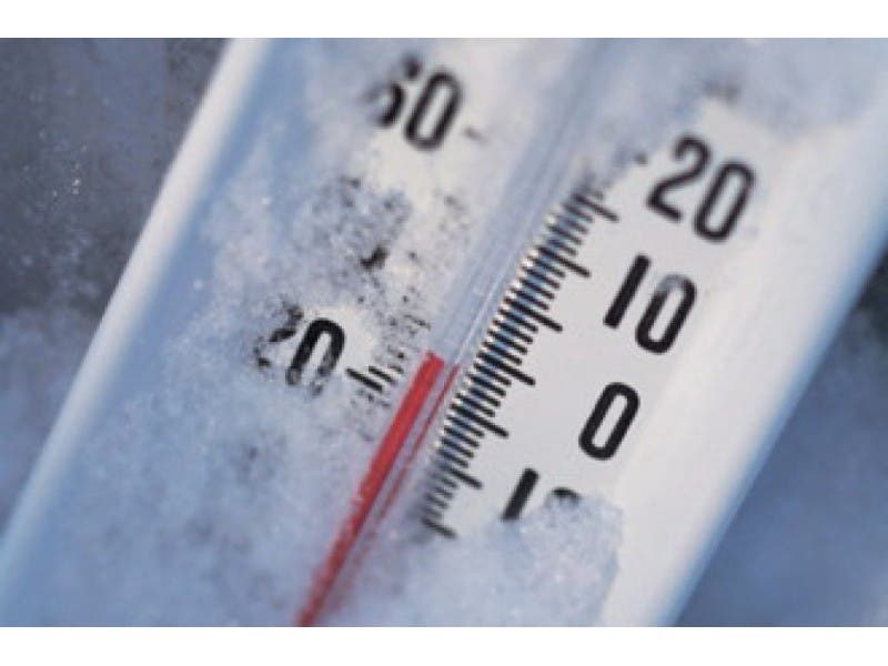
Latest Lexington Wind Chill Report: 24 Below Zero
It will be the coldest Wednesday afternoon into Thursday morning.

Lexington is in the midst of a spell of dangerously cold weather.
Wind chill values will drop to as low as -24 Wednesday night, according to the National Weather Service.
Here’s the latest NWS forecast:
Find out what's happening in Lexingtonfor free with the latest updates from Patch.
- WIND CHILL ADVISORY REMAINS IN EFFECT FROM 5 PM THIS AFTERNOON TO 10 AM EST THURSDAY...
- LOCATIONS...INCLUDE ALL OF MASSACHUSETTS EXCEPT NORTH CENTRAL AND WESTERN PORTIONS...AND THE ISLANDS...AS WELL AS ALL OF RHODE ISLAND EXCEPT BLOCK ISLAND...AND NORTHERN CONNECTICUT.
- HAZARD TYPES...DANGEROUSLY COLD WIND CHILL VALUES.
- WIND CHILL READINGS...AS LOW AS 24 BELOW.
- TIMING...LATE TODAY INTO THURSDAY MORNING.
- IMPACTS...DANGEROUSLY COLD WIND CHILLS WILL RESULT IN FROSTBITE OR HYPOTHERMIA IF PRECAUTIONS ARE NOT TAKEN.
- WINDS...NORTHWEST 10 TO 20 MPH WITH GUSTS UP TO 35 MPH.
- TEMPERATURES...MINIMUM READINGS OF 5 DEGREES ABOVE ZER0 TO 5 DEGREES BELOW ZERO BY THURSDAY MORNING .
Get more local news delivered straight to your inbox. Sign up for free Patch newsletters and alerts.