Community Corner
T-Storms, Possible Tornado to Make for Miserable Commute Wednesday Morning
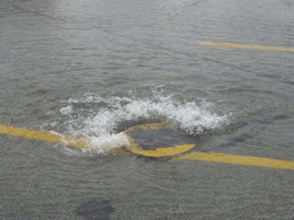
Flooding is possible, according to the National Weather Service.

By Robert Gates
Heavy rain will fall during the peak of the Wednesday morning commute, according to the National Weather Service, with the possibility for strong and severe thunderstorms and damaging wind gusts in Lexington.
There is also a “low probability of an isolated tornado,” the weather service said.
Find out what's happening in Lexingtonfor free with the latest updates from Patch.
“The primary time of concern is between 2 and 10 a.m. and particularly between 4 and 8 a.m.,” said the special weather statement issued by the weather service just before 7 p.m. on Tuesday.
Showers and thunderstorms will move into western New England after midnight and make its way to eastern Massachusetts by the early morning hours on Wednesday.
Find out what's happening in Lexingtonfor free with the latest updates from Patch.
“Brief heavy rain may result in some poor drainage street flooding during the Wednesday morning rush hour, so allow extra time to reach your destination,” the weather service statement said. “A few strong to severe thunderstorms are also possible with localized damaging wind gusts.”
The highest risk for severe weather is in eastern Massachusetts, plus Connecticut and Rhode Island.
“Downed branches and perhaps some downed power lines are possible as trees are still fully leaved,” the weather service said.
Photo: File
Get more local news delivered straight to your inbox. Sign up for free Patch newsletters and alerts.