Community Corner
When Will the Snowstorm End in Lexington?
The snow is expected to continue up until 10 p.m.

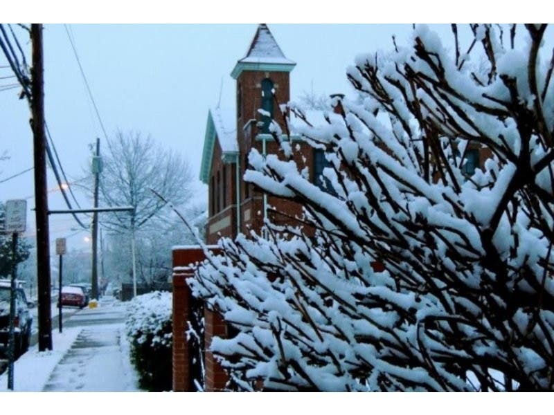
A snowstorm dropped about a half-foot of snow on Lexington Monday morning—and more accumulation is on the way.
The snow will continue through 10 p.m., according to Weather.com’s hourly forecast:
Find out what's happening in Lexingtonfor free with the latest updates from Patch.
- 2 p.m. Snow. 15 mph winds. 16 degrees.
- 3 p.m. Light snow/fog. 16 mph winds. 14 degrees.
- 4 p.m. Snow. 16 mph winds. 13 degrees
- 5 p.m. Snow. 16 mph winds. 12 degrees.
- 6 p.m. Light snow. 15 mph winds. 16 degrees.
- 7 p.m. Snow. 15 mph winds. 15 degrees.
- 8 p.m. Snow. 15 mph winds. 16 degrees.
- 9 p.m. Light snow. 14 mph winds. 16 degrees.
- 10 p.m. Snow. 14 mph winds. 16 degrees.
- 11 p.m. Mostly cloudy. 12 mph winds. 15 degrees.
- Midnight Partly cloudy. 13 mph winds. 13 degrees.
About a foot of snow will accumulate by the time the storm ends.
Here’s the National Weather Service forecast for the next few days:
Find out what's happening in Lexingtonfor free with the latest updates from Patch.
- Tuesday: Sunny. High of 19 degrees, low 7. Wind chill values as low as -12.
- Wednesday: Chance of snow after 11 a.m. High 32, low 21.
- Thursday: Chance of snow before 3 p.m. High 25, low 1.
Photo: Patch/File
Get more local news delivered straight to your inbox. Sign up for free Patch newsletters and alerts.