Community Corner
Hiking Through Medfield's Charles River Reservation
The four-mile hike is led by Friends of Medfield Forest and Trails.


The snow has finally melted, Spring is here and it’s time to get back to nature.
I did this recently with a hike through the Medfield Charles River Reservation led by the Friends of Medfield Forest and Trails, a group dedicated to protecting and maintaining forests, trails, open space and other natural features in the town of Medfield which contribute to Medfield's recreation resources, scenic beauty, wildlife habitats, distinctive character and historical significance, according to its website http://home.comcast.net/~dlafreniere/
The four-mile hike – which included the Reservation, the Medfield State Hospital cemetery, and the Medfield airport -- was the perfect way to get back out there.
Find out what's happening in Medfieldfor free with the latest updates from Patch.
Our trusty trail guide, Dave Lafreniere, took our group of young and old – and, yes, the middle-aged – on a trek that started with the Charles River Reservation which is managed by the Massachusetts Department of Conservation and Recreation. Since the trees have not filled out quite yet, we had beautiful views of the river from the safety of the trail. Here, Lafreniere engaged the children in the experience asking them which way the river was running. While it appeared the river was running one way, it was actually running another (watch the video to see what happened).
A few steps further and we walked out of the woods into a picturesque field that became an immediate favorite of Rufus, the four-legged friend of the group.
Find out what's happening in Medfieldfor free with the latest updates from Patch.
We didn’t make it down to Death Bridge and learned, after a few creative guesses, the non-dramatic story of how the bridge got its name. Have you heard the story?*Answer below.
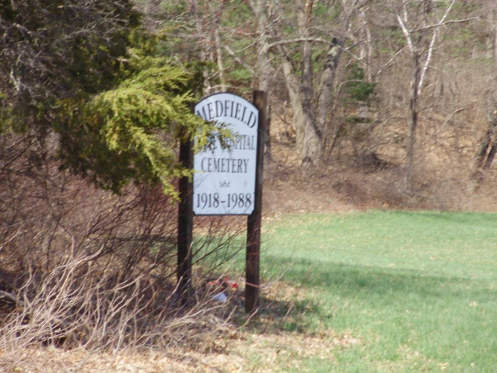
A short walk down “old Route 27” and we were back to the parking lot and traffic on today’s Route 27 which we crossed and headed over to the Medfield State Hospital Cemetery (1981-1988).
Here we saw, through the iron gates, the grave markers for several residents of the State Hospital. Those grave markers are the result of a recent research project by Medfield individuals who worked diligently to be sure that those former patients were recognized.
A short walk later, through another pleasant field, we were at the Medfield Airport – more specifically Bill Martin Field – where visitor are warned to “watch out for low flying aircraft.”
The field was busy that Sunday with remote control aircraft and families watching the activity.
Beyond the field, Lafreniere pointed out King Philip’s Overlook which is just visible through the trees. We took a few minutes to “think back” and imagine what it might have been like to live in Medfield’s Early Days.
As our hike continued, we were soon out on Hospital Road and heading up to the hospital property. Though I cut out at that point, the hikers enjoyed yet another one of Medfield’s scenic properties. That property, we learned, is still in the planning process to become a cluster development of 400 houses – but that’s a story for another day.
So now that the good weather is here, it’s a great time to get outside and enjoy the great properties that are in Medfield. For more information on Medfield’s forest and trail system, visit www.fmft.org. The sites for the Charles River Link Trail http://www.charlesriverlink.org and the Bay Circuit Trail http://www.baycircuit.org are also great resources.
When planning your outing, be aware that the Charles River Reservation is open to hunting, fishing and trapping during certain seasons, but there is no hunting on Sundays. Also beware of ticks – I picked one up along the way.
Happy Trails!
* ANSWER: Death’s Bridge was named as such because the last name of the people who owned the property was “Death,” according to Lafreniere who enjoyed telling the story.
How do you like to spend time outdoors in Medfield? Do you have a favorite place to hike or bike?