Community Corner
Greater Boston Cyclists Can Now Map Cars Parked in Bike Lanes
Using an interactive map, carsinbikelanesboston.com allows cyclists to submit photos and license plate numbers of vehicles in bike lanes.


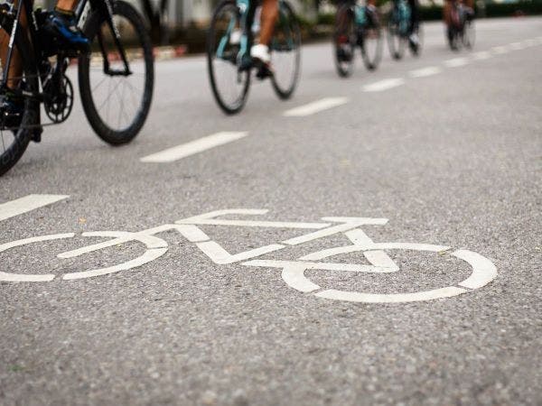
The tug-of-war between big city drivers and bicyclists is perhaps most prevalent in greater Boston, where commuters on two and four wheels attempt to coexist while navigating the inexplicably narrow roadways.
But cyclists may now have the upper hand after the release this week of a new website, carsinbikelanesboston.com. The brainchild of Alexander Freidin, who told the Boston Globe he commutes from Somerville to the Longwood Medical Center each day, the website consists of an interactive map that allows bicyclists to report cars parked in bike lanes.
Users may submit a photo of the vehicle, license plate number and location, as well as the date and time of the report.
Find out what's happening in Somervillefor free with the latest updates from Patch.
In a Globe interview, Freidin said he hopes his site will both inform bike commuters of problem areas and identify where bicycle infrastructure can be improved in Cambridge, Boston, Somerville and Brookline. He has also left the source code open on Github, so others may adapt the tool to their communities.
Find out what's happening in Somervillefor free with the latest updates from Patch.
Image via Shutterstock
Get more local news delivered straight to your inbox. Sign up for free Patch newsletters and alerts.