Home & Garden
Metro Detroit Snow Showers Could Be - And Have Been - Worse: Weather Outlook
Growling about early spring snow showers cutting into your patio time? Look Up North for some solace.

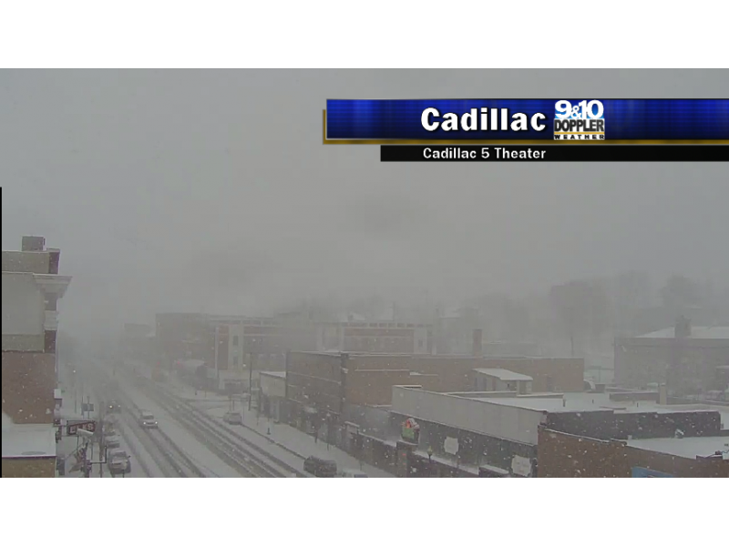
Heavy snow reduced visibility and caused some slick spots in and around Cadillac. (Photo via WWTV Facebook page)
Those random snow showers are a nasty springtime surprise when you’d rather think about winding down to your weekend on a patio, but it could be – and is up around Cadillac – much worse.
Find out what's happening in Royal Oakfor free with the latest updates from Patch.
WWTV said heavy snow was accumulating in grassy areas and creating some slick spots and reduced visibilities on highways in sections of the Lower Peninsula, but the snow showers have more nuisance value in the Detroit metro.
“It’s not pleasant outside, but it’s not unusual,” Heather Orow, a meteorologist at the National Weather Service office in White Lake Township, told the Detroit Free Press.
Find out what's happening in Royal Oakfor free with the latest updates from Patch.
The snow showers aren’t close to record-breaking. Since record keeping began, the latest recorded snowfall in the Detroit area was a trace on May 4, 1954.
Wednesday’s precipitation is called “graupel” – icy pellets or soft hail.
The snow showers are expected to move out of the area by evening, but more chilly temperatures will persist. The mercury won’t climb into the upper 50s until the weekend, according to the National Weather Service’s seven-day forecast for metro Detroit
Thursday’s predicted high is 48 under mostly cloudy skies and west-northwest wind gusts of up to 24 mph. Sunshine returns Friday and sticks around through Monday.
Get more local news delivered straight to your inbox. Sign up for free Patch newsletters and alerts.